About SeaCheck
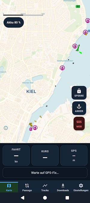
SeaCheck is something I built for my own small-boat sailing — a deck-side companion to paper charts, not a replacement for them.
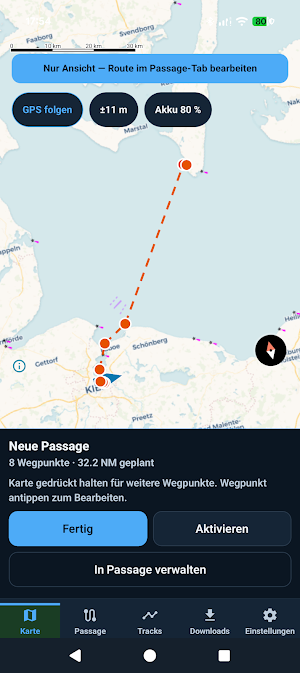
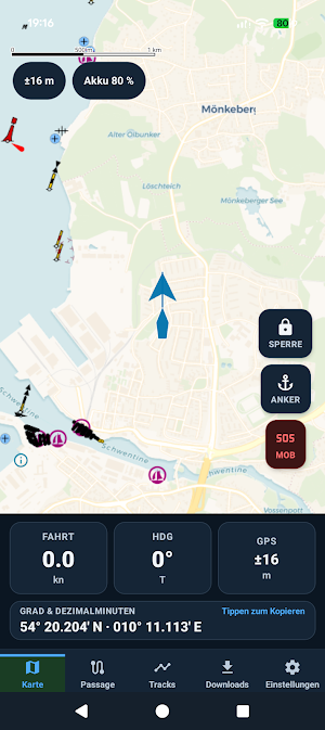
I use it for boat speed, coordinates, a quick chart position without going below, passage sketches, and anchor alarms. I'm sharing it in case another coastal sailor finds it useful. No launch, no support promise — use at your own risk.
NOT FOR PRIMARY NAVIGATION
Aid to navigation only. Not a certified chart plotter. Maps use OpenSeaMap / OpenStreetMap volunteer data and may be outdated. Always carry official, corrected nautical charts.
FEATURES
• GPS on chart — COG, SOG, bearing
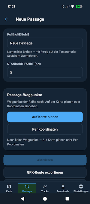
• Passage planning, waypoints, GPX export
• Offline region packs (Wi‑Fi download)
• Anchor, arrival, and off-course alarms
• Track recording
• EN / DE UI
Free. No ads. No analytics. Data stays on your device.
SeaCheck details
SeaCheck is a free Maps & Navigation app for Android with 0+ installs on Google Play. It was released on July 12, 2026 and last updated on September 12, 2026. It's developed by Software by Design. It requires Android 7.0 or later.
- Category
- Maps & Navigation
- Installs
- 0+
- Price
- Free
- In-app purchases
- No
- Ads
- No ads
- Current version
- 0.1.10
- Requires Android
- 7.0
- Content rating
- Everyone
- Released
- July 12, 2026
- Last updated
- September 12, 2026
- Developer
- Software by Design
What’s new in SeaCheck
• Passage planning: zoom stays where you left it when adding waypoints (no more jump back) • Chart downloads: other pack Download buttons no longer stay greyed out after the first pack • Boat follow pauses while you plan on the chart, so GPS does not fight your pan/zoom • Play quality: full R8 optimization, edge-to-edge cleanup, WebP splash assets • Stability fixes for offline pack download locking Navigation companion only — not a substitute for official charts and good seamanship.
Version 0.1.10 · Updated September 12, 2026
