About GNSS Commander
Turn your phone into a precision satellite navigation instrument.
GNSS Commander gives you direct access to your device's raw satellite data (GPS, GLONASS, Galileo, BeiDou, QZSS, IRNSS) — no simplified map filtering, no clutter. Built for engineers, surveyors, sailors, hikers, and anyone who wants to know exactly where they are and how good their fix really is.
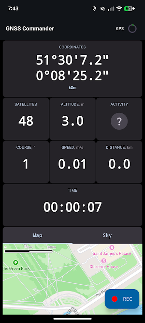
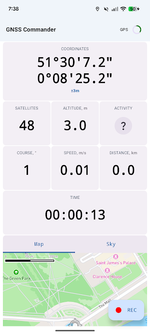
📍 PRECISION DASHBOARD
• Live coordinates in decimal or degrees/minutes/seconds format
• Altitude, speed, course, distance, and session time
• UTC or local time display
• Satellites in view and used in fix, updated in real time
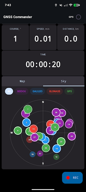
🛰️ SATELLITE SKY MAP
• Live sky plot of every visible satellite, color-coded by constellation
• Per-constellation signal details with C/N0 strength
• NMEA sentence and raw measurement logging for deep diagnostics
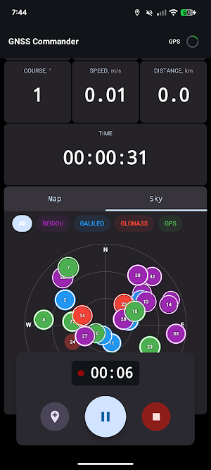
🔴 TRACK RECORDING
• Record your route in the background, with pause and resume
• Drop waypoints along the way
• Automatic session statistics: distance, average and max speed, ascent, descent, moving and stopped time
• Activity detection: walking, running, cycling, driving
🗂️ TRACK HISTORY & EXPORT
• Browse, rename, and manage your recorded tracks
• Map preview of every track
• Export to standard GPX and share to any app
⚙️ QUALITY CONTROLS
• Choose your location source: GPS, network, or fused
• Set the update interval: 1, 2, or 5 seconds
• Filter out poor fixes with accuracy and step-distance filters
• Speed in km/h or m/s, distance in km or m
🛡️ PRIVACY FIRST
• No ads
• Your location data stays on your device — we do not collect, analyze, or sell it
• Core features work fully offline
Take command of your satellite data with GNSS Commander.
