About Salty Offshore
Build your offshore map.
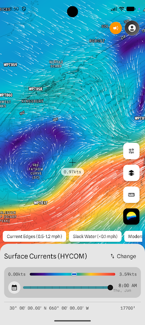
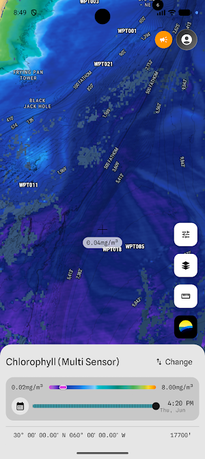
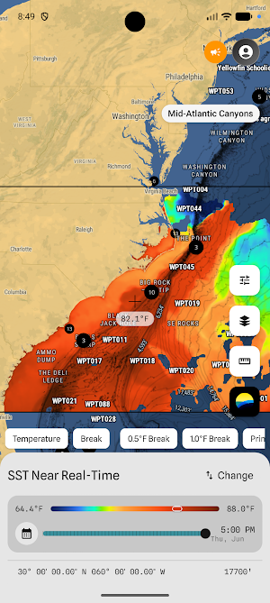
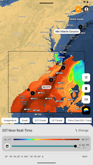
Stack sea surface temperature, chlorophyll, currents, and eddies in one view. Refine ranges and colors to see what matters. Track conditions at your spots over time. Share live maps with your crew.
Built for pros. Designed for everyone.
STACK YOUR LAYERS
One dataset tells part of the story. Stack them for the full picture—SST with currents, chlorophyll with eddies. Your call.
REFINE YOUR VIEW
Dial in temperature ranges. Adjust color scales. Highlight the breaks that matter to you.
TRACK YOUR SPOTS
Drop a waypoint. Watch SST, chlorophyll, and mixed layer depth change over days. Know if conditions are building or fading before you run.
SHARE WITH YOUR CREW
Send a live map link—not a screenshot. Your crew sees what you see. Same view. Same data. Same plan.
FRESH DATA, ALWAYS
Track satellite passes in real time. Know when new imagery arrives for your region.
ONE PLATFORM. YOUR WAY.
Salty isn't a map. It's a platform to build your map, track your water, and plan with your crew.
Similar Apps
DryICE
Track those pesky ICE men in your community.
Colorado Roads & CDOT Cameras
Live Colorado traffic cameras, road conditions, 511, mountain pass & snow alerts

RastreoVIP - Plataforma GPS
Live tracking, instant alerts, and total control of your device or fleet.

PWWA
Track whale sightings in real-time

HuntScout: Hunt Maps & Seasons
Public land maps, hunt zones & real-time hunting seasons for US & Canada

AUTOMAIS PRO
Vehicle tracking and fleet management.
