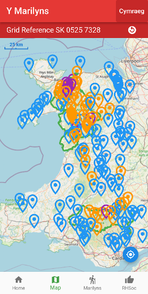
About Y Marilyns
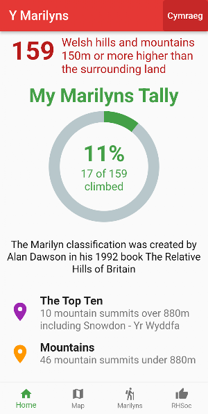
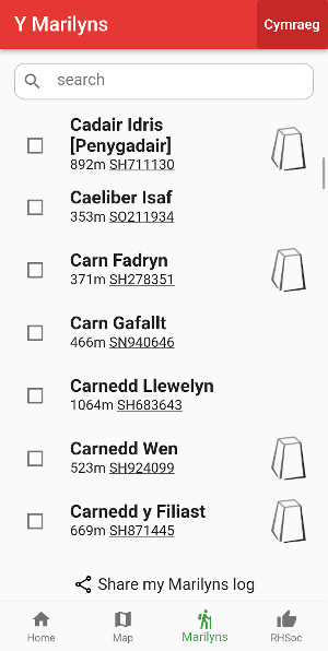
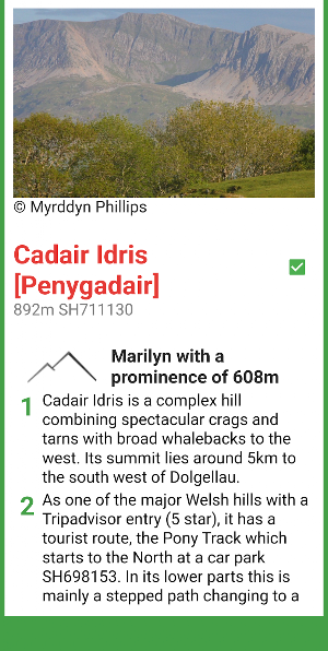
Are your ready for the challenge of climbing the 159 Welsh Marilyns (y Marilynau)? Marilyns are hills that are 150m higher than the surrounding land. Track your progress on your own personal log and with an interactive map from OpenStreetMap.
The Marilyn classification was created by Alan Dawson in his 1992 book The Relative Hills of Britain.
The Yr Marilyns app is brought to you by the Relative Hills Society.
© 2022 Doug Colton
Walk descriptions © 2022 Relative Hills Society
Base map and data from OpenStreetMap and OpenStreetMap Foundation © OpenStreetMap contributors
All images are subject to copyright or are used through Creative Commons Licence
Similar Apps

Buxton Explorer
Explore Buxton's fantastic heritage sights

Marilyn Munros
Explore the highest mountains in Scotland
Mappa Mundi
Explore Hereford Cathedral's medieval map of the world
Wainwrights
Explore the 214 Wainwright fells of the Lake District

Peak Flora
Wild flowers of the English Peak District

Mindful CHAOS
Explore the Mandelbrot Set pattern