About Ethel Ready
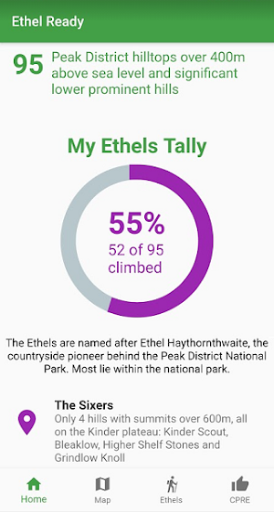
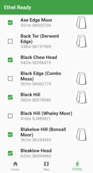
Are your ready for the challenge of climbing all of the Peak District's Ethels? Named after Ethel Haythornthwaite (the pioneer behind the Peak District National Park), the Ethels are all of the Peak District hills over 400m above sea level and significant lower prominent hills. Fewer, lower, easier and (for most of the UK's population) closer than the Munros of Scotland and the Wainwrights of the Lake District.
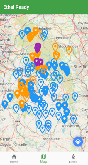
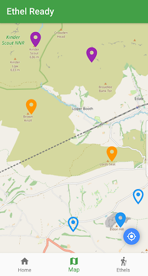
Explore the highest hills of the Peak District. Track your progress using interactive maps from OpenStreetMap.
Base map and data from OpenStreetMap and OpenStreetMap Foundation
© OpenStreetMap contributors.
All images are subject to copyright © 2021 Doug Colton (or are used through Creative Commons Licence).
Similar Apps

Stash: Meal Planner
The most surefire way to save time and money on groceries is...

Matterport for Government
*Requires Matterport for Government platform account to use. Non-public sector individuals, small...

EagleView
The EagleView App lets contractors order and access EagleView property measurements to...

Davis’s Canadian Drug Guide
"Try before you buy" - Download the FREE App, which includes sample...
