
GeoPics
Productivity
Capture and Share Geo Tagged Field Photos
- Downloads
- 11+
- on Google Play
- Price
- Free
- No in-app purchases
- Updated
- Sep 5
- 2026 · v2.4.011
Screenshots


About GeoPics
GeoPics transforms your device into a geo-aware field camera - snap, stamp and share location-rich photos in seconds.
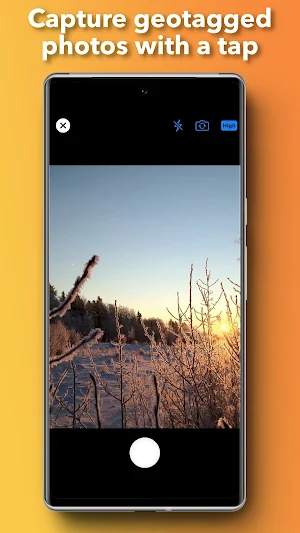
Snap geotagged photos in one tap
• Built-in geo-camera: live preview with flash, gridlines & GPS readout
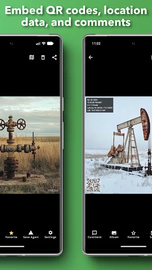
• Automatic stamping: date & time (with seconds + time zone), coordinates & QR code
• Custom overlays: customize the overlay, add comments or QR codes
Explore on a full-screen map
• Interactive map view: browse pins, zoom, pan & tap thumbnails
• All your coordinates: GPS, UTM, elevation - and in Western Canada, LSD & NTS
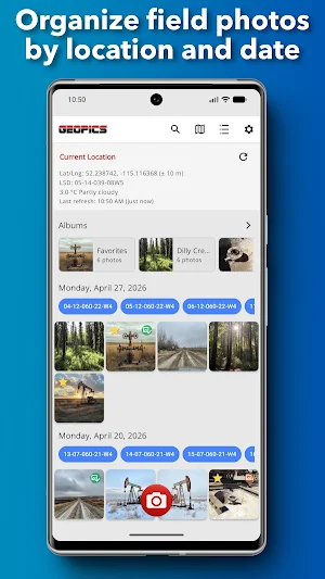
Organize & find your shots
• Dynamic albums: create, rename or reorder; album cover auto-selects its oldest photo
• Favorites: mark top shots and see them in a special “Favorites” album
• Search the meta data and jump straight to filtered results
Comment & share instantly
• Add notes or tags post-capture
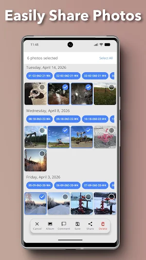
• Save to Photos or share via SMS + Mail
Perfect for field engineers, surveyors, inspectors and outdoor photographers who need precise location data baked into every image.
Download GeoPics today and never lose track of where your photos were taken.
What’s new
Version 2.4.011 · Updated September 5, 2026
Initial Android release of GeoPics. Capture location-aware photos with no account required. Organize GeoPics into albums, browse them on a map, review legal land descriptions, NTS, UTM, and weather details, then export or share them directly from your device.
Alternatives to GeoPics
Looking for apps like GeoPics? Here are 4 similar Android apps on Google Play. The highest rated is OilTrails (5.0/5), and all 4 are free to download.



| App | Rating | Price | Installs | Last updated | Compare |
|---|---|---|---|---|---|
| GeoPics | – | Free | 10+ | Sep 5, 2026 | |
| Pump Rate Calculator | – | Free | 10+ | – | Compare |
| Tubing Stretch | – | Free | 100+ | Aug 2, 2022 | Compare |
| Hole Volumes | – | Free | 500+ | Sep 3, 2026 | Compare |
| OilTrails | 5.0 / 5 | Free | 10,000+ | – | Compare |
Compare GeoPics with the top alternatives: ratings, updates, ASO score and keyword gaps →