About Geoglight
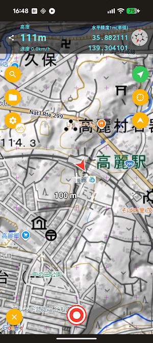
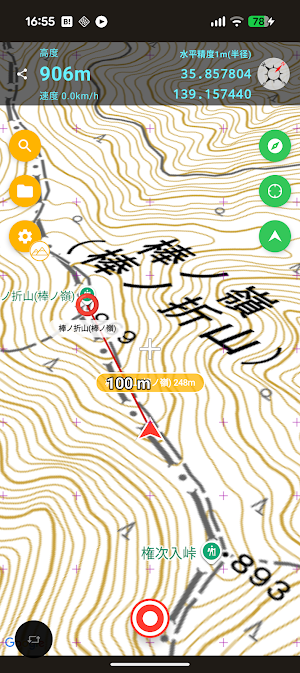
Geolight is a simple map and GPS logger app.
Main Features
Designed not just for hiking, but for a variety of uses including city walks and cycling.
Start and stop track logging with a single tap.
Switch between GSI (Geospatial Information Authority of Japan) maps, OpenStreetMap, and OpenTopoMap.
Cache and display map tiles even when offline.
Accurate elevation logging using elevation tiles within Japan.
Reliable, continuous logging even in the background.
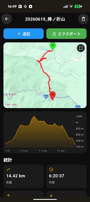
Export to GPX format.
Import GPX and KML files.
Automatic backup and restore via Google Drive.
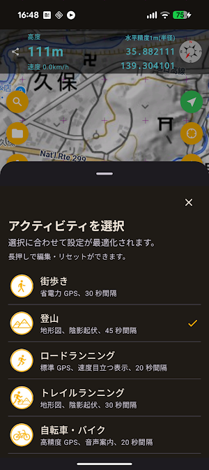
Long-press the settings button to switch between preset configurations. Swipe left on a preset to edit it, and save your current settings as a preset.
A lightweight app focused on recording and managing GPS logs, without cramming in unnecessary features. Use it to record your hikes, cycling, walks, and travels.
Website: https://kzi.jp/index_gl.html
Privacy Policy: https://kzi.jp/privacy-policy.html
Similar Apps
Geoglight
This map app features easy-to-read maps and lightweight performance.

Photographica
Photographica adds text, maps, and GPX tracks to photos.

TALS TelloAltLimitSetter
Change Tello's altitude limit.

アルパカナビ | 登山のコースナビ・GPS
It is the latest of climbing for the navigation app. It was newly developed as anyone easy to use climbing app.
![Geographica [Offline GPS APP]](https://apppage.net/img/SFrZv9yOqrzirLZ3HhfKbWC03XzhVnQjlXJc4miw4QwLrKhUUJzh8Vbo20NoS9kRGsrnIJ45D45Vyq7yYhMnaw=w200-rw)
Geographica [Offline GPS APP]
Geographica is a [Map Caching Offline GPS APP] for mountaineering.
