About トバセル
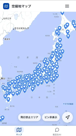
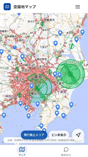
Tobacell is an app that lets you intuitively check drone flight eligibility on a map. It clearly displays no-fly and restricted areas, such as those around airports. With a current location display and optimized zoom, you can quickly understand the situation on-site.
Key Features:
- Map display of no-fly and restricted areas (on/off switch)
- Current location display and smooth redrawing as you move
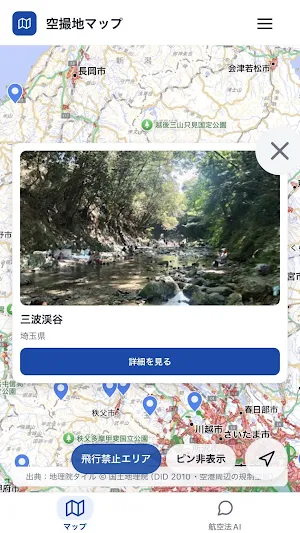
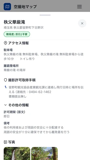
- Pin display of spots (supports image thumbnails)
- Simple UI that makes it easy to navigate, even for first-time users
Location information is used only to display your current location, and communications are secured via HTTPS. Use Tobacell for safe and comfortable flight planning.
Similar Apps
City Cabs
City Cabs - Safe, fast, reliable, and affordable rides with real-time tracking!

トバセル
A map app useful for lone flying. Quickly check no-fly zones and spots.

Vai com Wasley - Passageiro
Easy, fast and safe.
Tally
Tally – DownloadChow Deliveries- is a fast and easy app for delivery partners.

CelcomSAT
Real-time vehicle tracking, alerts, trip history, and fleet management.

Mevo Charge
Smart charging for your electric vehicle
