NZ Offline Topo Map - South
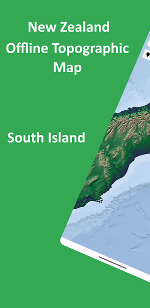
NZ - South Offline Topo map. DOC Camp, hut location and hunting permit bdy.
About NZ Offline Topo Map - South
Designed with simplicity in mind, this app offers an intuitive user interface that enables you to quickly and easily find information about surroundings, without any prior technical knowledge or experience.
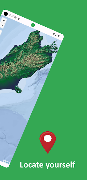
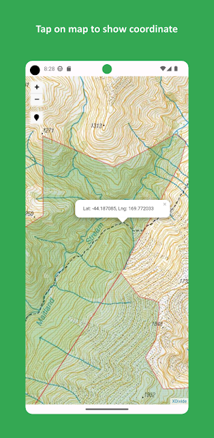
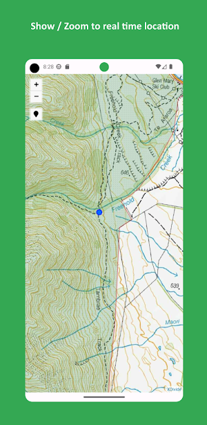
The app offers offline topographic map of New Zealand – South Island, meticulously provided and maintained by LINZ (Land Information New Zealand) - the NZ official agency entrusted with storing and maintaining the country's title and survey records, with the aim of aiding in understanding, developing and caring for whenua, moana and arawai. Camp sites, huts locations and hunting permit boundaries provided and maintained by DOC (Department of Conservation).
As a testament to our commitment to utilizing cutting-edge technology, we proudly leverage the Leaflet JavaScript library – a project born in Ukraine. It delivers a seamless user experience that empowers you to explore and discover the world with ease.
This app is the embodiment of our unwavering commitment to making the world a better place, and we are honored to provide a powerful platform that equips you with the tools and information needed to navigate and explore the surroundings with confidence and clarity.
Similar Apps

Sunrise and Sunset Times
Sunrise & Sunset Times 🌅🌙Welcome to Sunrise & Sunset Times, access precise...
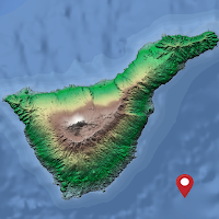
Tenerife Offline Topo Map
Designed with simplicity in mind, this app offers an intuitive user interface...
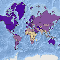
GDP Explorer Globe Map
The app offers World map of GDP per capita 2022, data used...
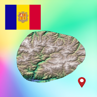
Andorra Offline Topo Map
Designed with simplicity in mind, this app offers an intuitive user interface...
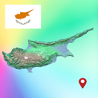
Cyprus Offline Topographic Map
Designed with simplicity in mind, this app offers an intuitive user interface...
Switzerland Offline Topo Map
Designed with simplicity in mind, this app offers an intuitive user interface...
