About TwoTrails
TwoTrails is a timber cruising and timber sales admin surveying package. It is maintained and developed by the Forest Management Service Center. Though it is specifically written for USDA forestry personal, it is freely available to anyone. Many of the program capabilities are shared below:
• Manages all surveying methods approved by USDA Forest Service Handbook, FSH 2409.12, Chapter 50, Area Determination.
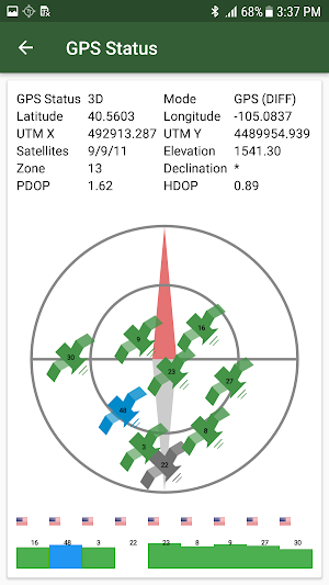
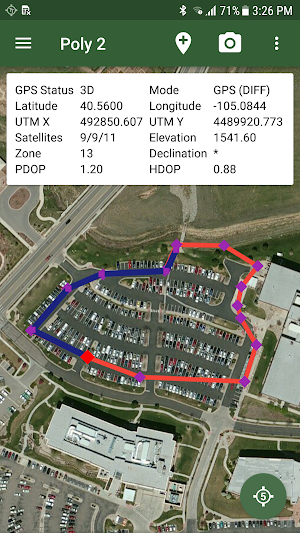
• Real-time GPS surveys:
• GPS Walk (Breadcrumb)
• GPS Angle Point (Take5)
• Real-time surveys:
• Direction Distance Traversing
• Radial (example: Island Exclusions)
• Corridors (example: Hazard Tree)
• Combined use of multiple survey types:
• GPS surveys
• Digitized Information (Shape Files, KML/KMZ, GPX, CSV)
• Remote sensing information
• Create Grid (Sample) Point sand Navigate to them
• Exports:
• KMZ and GPX
• Project Status and Information
• CSV’s (Points, Polygons, Metadata, NMEA Information, etc..)
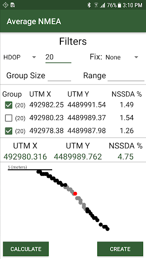
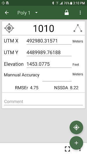
• Automatically calculates area-error for comparison with handbook standard
Similar Apps
Visitor Map - USFS Lands
Explore the great outdoors by visiting America’s backyard -- 193 million acres...

Pacific NW National Forest
Explore this app to find all the recreation opportunities the Pacific Northwest...

FScruiser
FScruiser is the latest generation of timber cruising field data collection software...

Forest Service Eastern Region
The official Eastern Region National Forest app provides essential information about the...

Rocky Mountain National Forest
Explore this app to find recreation opportunities at the Rocky Mountain Region’s...

USFS Risk Calculator
To accomplish the mission of the U.S. Department of Agriculture Forest Service,...