USFS – Pacific Southwest LZs
A collection of Night and Day Helicopter operation certified Landing Zones
About USFS – Pacific Southwest LZs
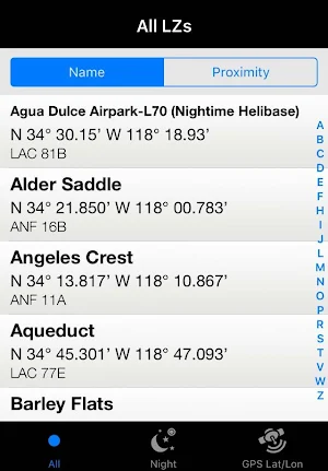
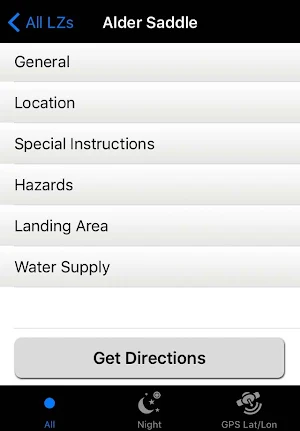
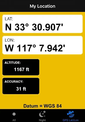
The USFS – Pacific Southwest Landing Zones App provides Interagency Wildland Firefighting resources with Landing Zone (Helispot) Information for Forests in Region 5. The Landing Zones listed in this App have been certified by Local Unit Aviation Staff for use by Night or Day Operations Helicopters. Users will be able to sort sites alphabetically, by type and by proximity; based on the users GPS location. The user will be able to use this App to navigate to Landing Zones when responding to vegetation fires.
Currently, the only supported forest is the Angeles National Forest. This App is sponsored by United States Forest Service, Pacific Southwest Region, Fire and Aviation Management.
Similar Apps

Enroute Flight Navigation
Enroute is a non-commercial flight navigation app written by flight enthusiasts for...

RocketRoute FlightPlan
RocketRoute combines Worldwide Flight Planning and In-Flight Navigation in one amazing Android...

Togo RV – RV GPS and more
Togo RV is the all-in-one RV app to keep RV owners organized,...

Natural Atlas: Trail Map & GPS
Explore nature in a new way with the ultimate field guide and...

Hipcamp: Camping, RVs & Cabins
The best and most comprehensive App for unique outdoor stays in the...

The Dyrt: Tent & RV Camping
Find and book your perfect campsite anywhere in the U.S. Or list...
