About NL Waterlevels
Note: this app is not developed by, affiliated with, or endorsed by Rijkswaterstaat or the Dutch government.
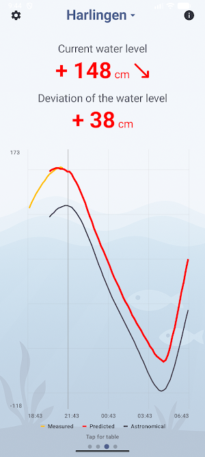
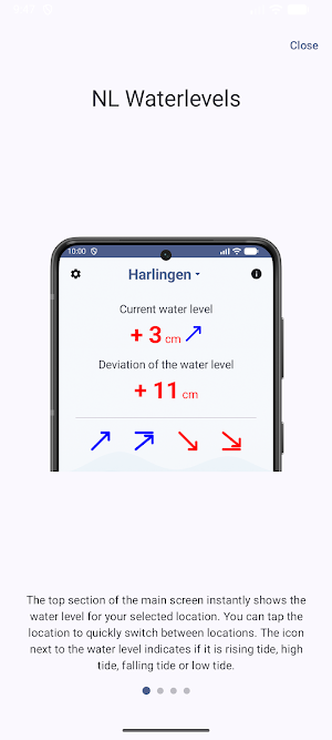
View real-time water levels from 19 measurement stations along the Dutch Wadden Sea and North Sea coast. NL Waterlevels uses the most recent measurements from Rijkswaterstaat, so you always know the current water level in your waterway.
Whether you want to determine if it's the right moment to cross Brakzand, head to Nes, or sail another route across the Wadden Sea — with this app you have the information right at hand.
Features:
• Current water level per measurement station
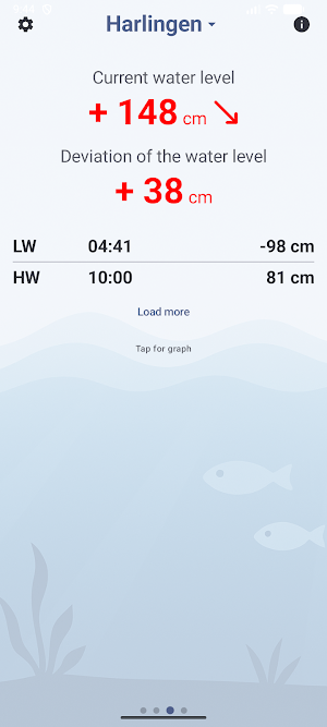
• Tide data with ebb and flood times
• Expected water level for the coming hours
• Chart with measured, expected, and astronomical water levels
• Save your favourite stations for quick access
Measurement stations:
Harlingen, Lauwersoog, Nes, Schiermonnikoog, Terschelling Noord, West-Terschelling, Vlieland Haven, Den Helder, Oudeschild, Den Oever, Kornwerderzand, Holwerd, Wierumergronden, Huibertgat, Oude Westereems, Nieuwe Statenzijl, Eemshaven, Delfzijl and Borkum.
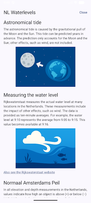
Data comes directly from Rijkswaterstaat's public APIs (https://waterinfo.rws.nl) and is refreshed every minute. Ideal for sailors, water sports enthusiasts, and anyone who needs current water level data along the Dutch coast.
NL Waterlevels details
NL Waterlevels is a free Weather app for Android with 10+ installs on Google Play and a 5.0/5 average rating from 1 rating. It was last updated on March 29, 2026. It's developed by Hugo Witsel App Developer. It requires Android 8.0 or later.
- Category
- Weather
- Rating
- 5.0 / 5 (1 rating)
- Installs
- 10+
- Price
- Free
- In-app purchases
- No
- Ads
- No ads
- Current version
- 2026.3
- Requires Android
- 8.0
- Content rating
- Everyone
- Last updated
- March 29, 2026
- Developer
- Hugo Witsel App Developer
Similar Apps
Ma météo
Complete and intuitive weather application! Altimeter, hygrometry and hPa :)
SIN 東京23区の気象がまるわかり!
Highly accurate pinpoint weather information in the palm of your hand. You can understand the weather in Tokyo's 23 wards anytime, anywhere using your smartphone!
Tornado Tracker by TornadoPath
Live tornado warnings, HD radar & phone call alerts when storms threaten you.
Moonphase Setter - Watch Sync
Moonphase sync for your mechanical watch. Precise GPS-based astronomical data.
Team: DC Admin Field Officers
It helps the filed officers of district administration in their operations.
챙겨줘, 우산
“Take my umbrella with you” is an app that notifies you to take your umbrella with you by push notification when there is a high chance of precipitation in your desired area and time.
