About Nivo Ski
NivoSki is the most advanced avalanche risk analysis tool for ski touring.
Plan your outings safely with detailed terrain and snow conditions analysis.
AVALANCHE RISK ANALYSIS
• Import a GPX file
• Google Drive Sync
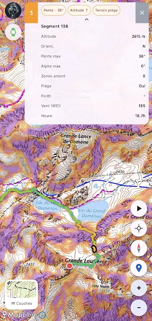
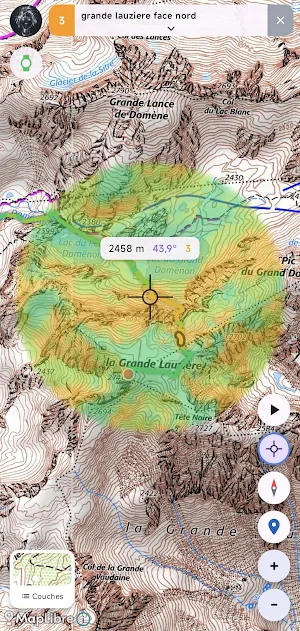
• Segment-by-segment analysis: slope, aspect, altitude, isotherm, wind, risk exposure
• Automatic cross-referencing with Météo-France Avalanche Risk Assessment Bulletins (BERA)
ADVANCED MAPPING
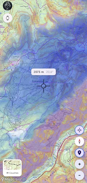
• Slope map (IGN palette: 30-35°, 35-40°, 40-45°, 45°+)
• Snowpack estimation by mountain range and altitude
• Real-time Météo-France Nivose stations (snow depth, temperature, fresh snow)
• CLPA zones (Avalanche Phenomena Location Map)
• Marked ski runs (OpenSnowMap)
• Basemaps: OpenTopoMap, IGN, Freemap, satellite
GPS TRACKING
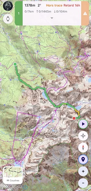
• Background tracking of your tracks
• Integration Garmin
• Risk alert >3, off-track, late
• Real-time risk reassessment (time, location)
• Works offline, in airplane mode
DATA SOURCES
• BERA: Météo-France
• Nivose stations: Météo-France via data.gouv.fr
• Digital Terrain Model: EU-DEM / Copernicus
• Slopes and aspect: calculated from the DEM
7-day free trial, then monthly (€2.99/month) or annual (€19.99/year) subscription.
Free web application available at https://nivo.ski
Similar Apps

No-D NYC
Find emergency contacts, shelters, and social services across NYC.

Nganya Live Driver
Drive smarter with Nganya Live Driver — manage trips, track routes

Sidekick Navigation + Dashcam
Choose the route you like (Google, Here or Apple) with video recording

enaide
MinervaS AI co-pilot that reduces fuel consumption and emissions in real time.

SmartCar Client
Online cruise monitoring software for mobile phones and top Android

Viamigo
Find or offer rideshare opportunities in your area.
