Tactical Offline Satellite Map
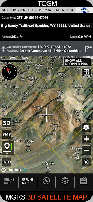
Save precise locations on a satellite map offline. MGRS/UTM, compass, sun/moon
About Tactical Offline Satellite Map
A field-ready GPS map to save and manage locations without internet.
Features
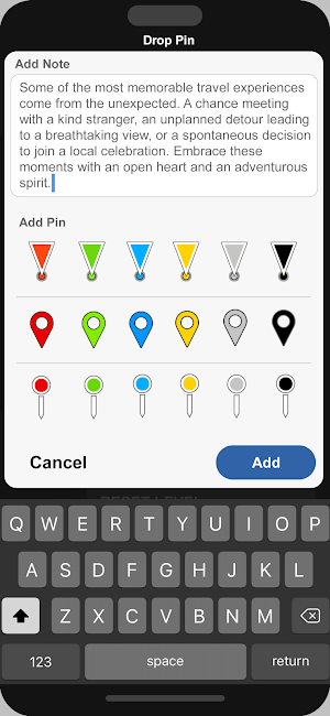
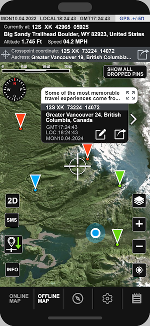
• Save pins with colors and notes; view all saved points.
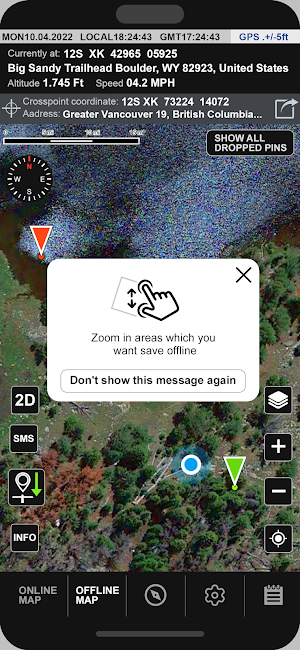
• Offline tiles: zoom into an area to cache the map locally.
• Coordinate formats: Dec Deg, DMS, UTM, MGRS/USNG.
• Address, lat/long, GPS accuracy readout.
• Altitude and speed.
• Compass with True/Magnetic north.
• Local & GMT time, sun events (rise/noon/set) and moon times.
• On-site weather: temperature, wind, visibility, pressure.
• Units: metric, feet/miles, nautical; 12/24-hour clock.
• Fast sharing of coordinates and notes.
Use cases
Hiking, travel, fieldwork, hunting/fishing, search-and-rescue.
Similar Apps

BaseMap: 3D Hunting Maps & GPS
3D Maps, Offline 3D, Location Sharing, Public & Private land, weather, wind, GPS

Sea Trials - USCG License Exam
Upgrade USCG License

SkySafari Astronomy
Astronomy Guide to the Night Sky

IFSTA HazMat First Responder 6
Study while on the go with Exam Prep, Flashcards, Identify, and Skill Videos!

IFSTA Company Officer 6
Study while on the go with Exam Prep, Audiobook, and Flashcards!

ATPL Questions
Let ATPL Questions be your co-pilot.
