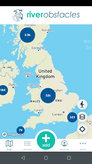

About River Obstacles
There are thousands of man-made obstacles in the rivers of the UK, such as weirs, dams, sluices and road culverts. Some of these perform important functions like navigation or flood protection, but they can also cause problems such as:
- restricting the upstream and downstream movement of fish, and preventing access to important spawning and feeding areas,
- damaging other important river species that rely on the free movement of migratory fish like salmon, for example the freshwater pearl mussel,
- damaging river banks and beds by causing excessive erosion or deposition of sediment,
- posing a hazard to people using boats, canoes and kayaks.
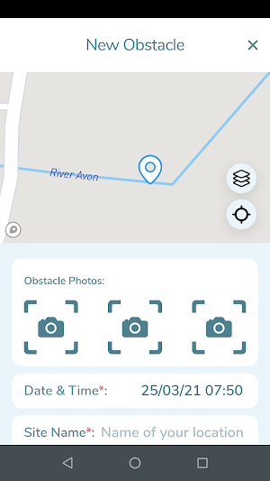
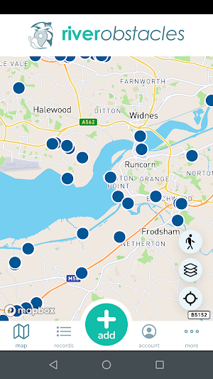
We know where many of these obstacles are and what kind of impacts they cause, but we suspect that there are many more obstacles that we don’t know about. This App enables people to send in photos and details of obstacles that they see when they are out and about either on, in or by a river. It is possible to submit just the basic information such as the location of the obstacles and a photo, or to submit more detailed information such as the type of obstacle, its height and length and whether there is a fish or an eel pass present.
Submitted records will be used to update, expand and improve the River Obstacles dataset, which is an inventory of over 30,000 weirs, waterfalls, sluices, dams, culverts, fords and flap gates in England and Wales, which was created initially as a desktop exercise using digital maps to identify features which crossed the river network.
Records are manually verified, then added to the Open Data dataset which is available under an Open Government Licence on the River Obstacles website The information received from this app will be used by public bodies, environmental organisations, trusts and local authorities to identify redundant man made obstacles that can be removed from rivers and to prioritise improvements to other obstacles that will yield the biggest environmental benefits.
The App will be particularly useful to organisations who undertake river surveys as it enables users to track and record the route that has been surveyed, providing a rapid way of visualising where further survey work is required.
All the River Obstacles data can be viewed, filtered and downloaded from the River Obstacles website - www.river-obstacles.org.uk.
Similar Apps

EarthTrack
EarthTrack has been developed to facilitate ground-level collection of land cover, habitats...

Dawn Chorus
Dawn Chorus is a unique Citizen Science and Arts Project.By combining science...

Coreo
If you need to collect data in the field then Coreo is...

URApp
Regular drinking and toilet visits are both very important for a healthy...

Fish Tracker
Fishing app...
RiverDip
RiverDip is part of the Sullied Sediments project, led by the University...