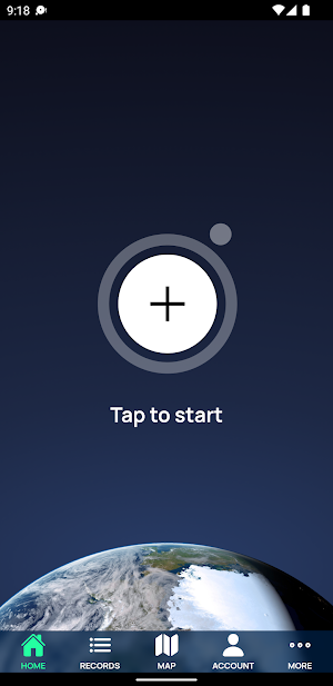
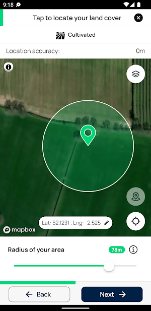
About EarthTrack
EarthTrack has been developed to facilitate ground-level collection of land cover, habitats and change to support routine and continuous characterisation, mapping and monitoring of landscapes from Earth Observation (EO) data as well as assist future co-designed planning.
EarthTrack is a component of the Living Earth system, that constructs past, current and future land cover maps from environmental descriptors retrieved from Earth observation data or predicted (e.g., through modelling). Examples are vegetation canopy cover (%) and height (m), water persistence (time) and plant species type and, as these have defined units or categories that are fully scalable in space and time, the classification system is applicable globally whilst maintaining local relevance.
EarthTrack and Living Earth uniquely includes a new approach to classifying change that is based on the coupled descriptions of the causes and consequences, considering biotic, abiotic and human-influenced drivers.
The maps generated are made publicly available to inform individuals, groups, organisations and even countries across multiple domains (policy, science, land management, society and health). Living Earth has been developed in Wales and Australia, with European effort, and applied at local, national and continental scales. For more information visit the Living Wales website at wales.livingearth.online.
Similar Apps
1st Reporting
Tap into the powerful tools you need to quickly track and report...

SkyFi App
SkyFi is the easiest on-demand earth observation photo and video app —...
NewsNation: Unbiased News
Unbiased news begins with NewsNation. We’re your fact-based network that’s focused on...

ConveyMED Podcast App
ConveyMED: Medical Education for the Mobile Generation! All the best medical podcasts....
Moon Sun Fire: Yoga & Meditati
Live a life full of clarity, courage, freedom, fearlessness and immense joy!...

DynaMed
DynaMed is a clinician-focused tool designed to facilitate efficient and evidence-based patient...
