About Coordinate Survey
Coordinate Survey
Coordinate Survey is a professional drawing visualization and coordinate analysis application developed for surveying engineers, construction site teams, technical personnel, and field workers.
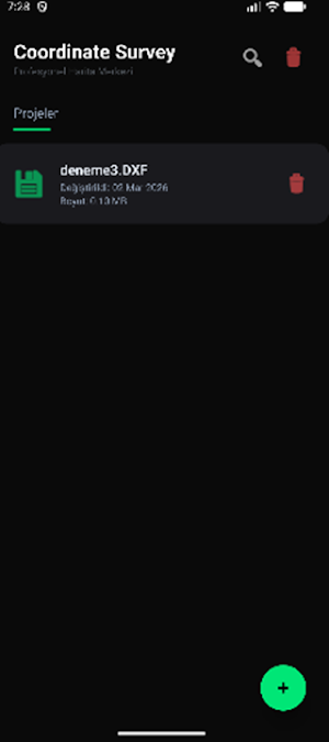
You can view your DXF and technical drawing files quickly, smoothly, and accurately from your mobile device.
🚀 Key Features
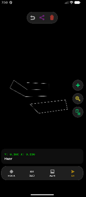
• DXF technical drawing visualization
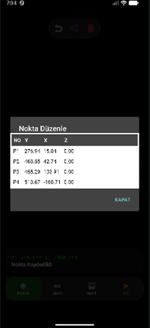
• Accurate coordinate reading (X, Y)
• Point selection and distance measurement
• Calculation of ΔX, ΔY, and precise distance
• Smooth navigation with Zoom & Pan support
• Dark theme CAD interface
• Lightweight and fast performance
🎯 Who is it for?
• Surveying and Cadastre engineers
• Construction and infrastructure field teams
• Survey technicians
• Professionals working with technical drawings
📐 Measurement and Accuracy
Coordinate Survey instantly calculates the following values between two selected points:
• Precise distance
• X difference (ΔX)
• Y difference (ΔY)
🔒 Privacy
The application does not collect personal data.
Files are processed only on the device and are not sent to any server.
Analyze your technical drawings quickly and reliably in the field with Coordinate Survey.
DXF viewer
Coordinate measurement
CAD
Survey
Technical drawing
Mapping engineering
Similar Apps
Coordinate Survey
DXF/DWG imaging, coordinate measurement, and precision analysis tool.
Coordinate GO
Koordinat oluşturun, KML/KMZ açın ve anında navigasyon başlatın.
