Lake Wagitaler Sihl Klontaler GPS Nautical Chart
Perfect app for Cruising, Sailing, Fishing, Diving, Surf Fishing !
About Lake Wagitaler Sihl Klontaler GPS Nautical Chart
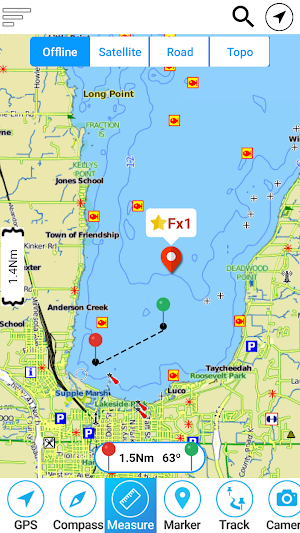
MapiTech launches on the market the best official up-to-date RNC (raster) combined with S57 nautical charts (digital): marinas, wrecks, fishing spots, boat ramps, POI.
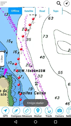
This app displays seamlessly the beauty of paper charts, a "look and feel" experience combined with S57 data.
You will be impressed how appealing the raster charts look, how easily you pan and zoom and ..there's much more you will like about Mapitech App.
The interactive menu is very intuitive, the maps are downloaded to the device itself, it works in OFFLINE mode. No need of Internet connection.
Chart details and performances of a professional GPS chart plotter at a minimal cost.
At glance:
•It works without mobile coverage (OFFLINE)
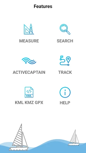
•Powerful search
•Multiple overlays for different use (fishing, sailing or cruising)
•ActiveCaptain community integration
•KML KMZ GPX viewer and converter embedded in the app
•Very detailed and updated charts
•Waypoints
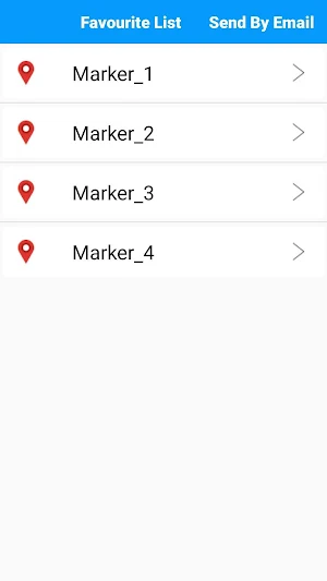
•Markers & Favorites
•Multiple tracks: Record your track, instant speed time, COG - course over ground
•Geo - tagged photo management
•Distance measure
•Compass
•GPS window with very detailed info
•User friendly on latest android
Join the Captain community of 100.000+ boaters who write review and provide updated hazard info. Must have for all boaters!
Lake Wagitaler Sihl Klontaler GPS Nautical Chart details
Lake Wagitaler Sihl Klontaler GPS Nautical Chart is a paid Maps & Navigation app for Android with 5+ installs on Google Play and a 5.0/5 average rating from 1 rating. It was released on May 18, 2018 and last updated on April 3, 2020. It's developed by MAPITECH LTD. It requires Android 4.0.3 or later.
- Category
- Maps & Navigation
- Rating
- 5.0 / 5 (1 rating)
- Installs
- 5+
- Price
- $2.99
- In-app purchases
- No
- Ads
- No ads
- Current version
- 4.6.1
- Size
- 16M
- Requires Android
- 4.0.3 and up
- Content rating
- Everyone
- Released
- May 18, 2018
- Last updated
- April 3, 2020
- Developer
- MAPITECH LTD
What’s new in Lake Wagitaler Sihl Klontaler GPS Nautical Chart
Chart updated
Version 4.6.1 · Updated April 3, 2020
Similar Apps

Trimlog: Sailing Analytics
Improve your boat trim with the Trimlog app for the best possible...

Wavve Boating: Easy Marine GPS
When it comes to marine navigation, and staying informed on current boating...

AquaChek Connect
The free, user-friendly app uses innovative photo capture technology to digitally scan...

Sea Trials - USCG License Exam
Sea Trials is the most up-to-date multi-platform tool designed to help you...
Dockwa
Life’s better boating! Spend more time boating, less time booking. Dockwa is...
