About National Zoo Navigator
National Zoo Navigator
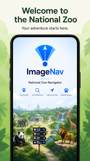
Explore the Smithsonian National Zoo with confidence using ImageNav.
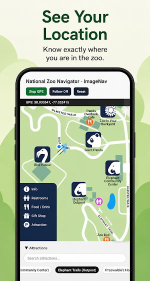
National Zoo Navigator displays your live GPS location directly on the official zoo map, making it easy to find exhibits and attractions without switching between maps.
Features
• Live GPS location on the zoo map
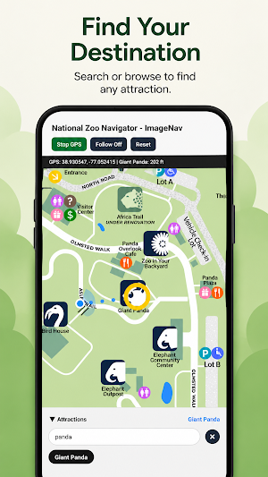
• Search for attractions
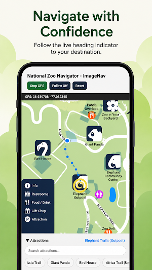
• Heading-aware navigation
• Distance to your destination
• Tap the map to identify nearby attractions
• Works with downloaded map data
Whether you're looking for Giant Panda, Elephant Trails, Bird House, or your next favorite exhibit, National Zoo Navigator helps you spend less time getting lost and more time enjoying the zoo.
ImageNav is designed for outdoor attractions where traditional GPS maps don't provide enough detail.
Similar Apps

onWater Fish - Fishing Spots
Fishing points, maps, weather forecasts, property boundaries, & usgs streamflows

Skratch: Travel Map & eSIM
Plan & Track Your Travel Life

Guru Maps Pro & GPS Tracker
Get a map before your next journey and navigate with confidence even offline.

FarOut
GPS Maps: Hiking Bikepacking Paddling Rafting

Detecht - Motorcycle App & GPS
Motorcycle gps app for tracking, planning and navigation with crash detection.

Karta Offline GPS Maps Nav
Offline Navigation, Traffic Information & World Maps
