GeoAgro Field
Collect georeferenced data in the field, with or without an internet connection.
About GeoAgro Field
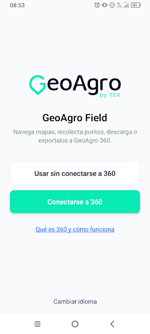
GeoAgro Field is the mobile tool for agricultural teams that need to collect georeferenced data, with or without an internet connection.
* Work offline in the field: upload your own maps in Geopackage (.gpkg) and MBTiles (.mbtiles) formats, navigate them offline, create field visit tasks, collect georeferenced points with custom metadata, download them in GeoJSON format, and share the collected points with others.
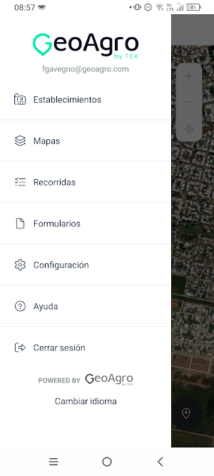
* Connect to GeoAgro 360: authenticate securely, view your farm boundaries, create field visit tasks, collect georeferenced points with custom metadata, and export directly to the GeoAgro 360 platform (https://geoagro.com/es/360-2/).
KEY FEATURES
- Offline functionality: works in areas without signal
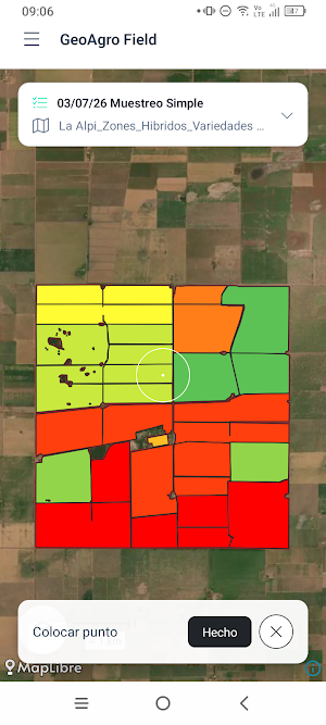
- Displays GeoPackage and MBTiles maps
- Collects georeferenced points with metadata
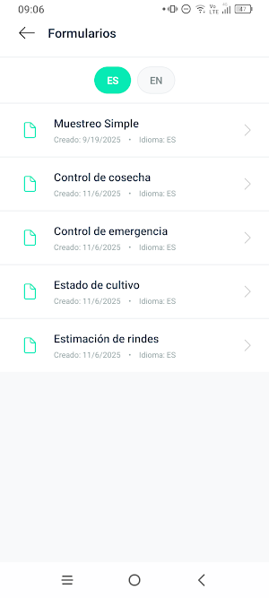
- Uses standard data collection forms
- Downloads collected points to the device for sharing
- Direct export to GeoAgro 360 (https://geoagro.com/es/360-2/) as visit layers
Designed for agronomists, field technicians, and agricultural teams who need a reliable map-based data collection tool in the field.
Similar Apps

ZWCAD Mobile - DWG Viewer
View, edit, measure, and annotate your DWG files in an easy and quick way.

Detecht - Motorcycle App & GPS
Motorcycle gps app for tracking, planning and navigation with crash detection.

FarOut
GPS Maps: Hiking Bikepacking Paddling Rafting

ConstructionOnline
The complete power of ConstructionOnline, with you wherever you go.

OneSoil Scouting: Farming Tool
Monitor fields and crop growth. Identify problem areas and add notes

SmartGuide: Digital Tour Guide
SmartGuide is your personal audio guide to the world, just inside your phone.
