Rumbo Vigía Pro
Create bearings, sights and intersections and estimate distances with viewfinder, GPS and map
About Rumbo Vigía Pro
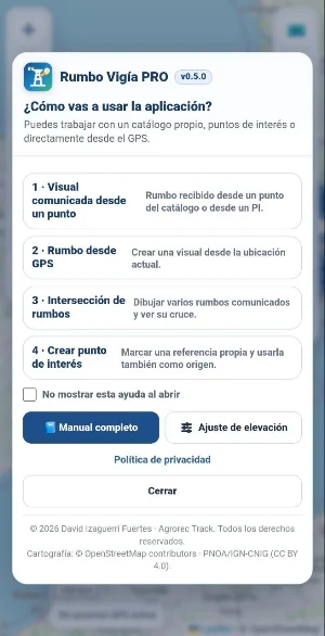
Rumbo Vigía Pro is a mapping, orientation, and observation tool designed to create, display, and share bearings and locations on a map.
It is specifically designed for surveillance, land observation, and fieldwork tasks where it is necessary to communicate an address, approximately locate an alert, estimate its distance, or combine sightings obtained from one or more points.
MAIN FEATURES
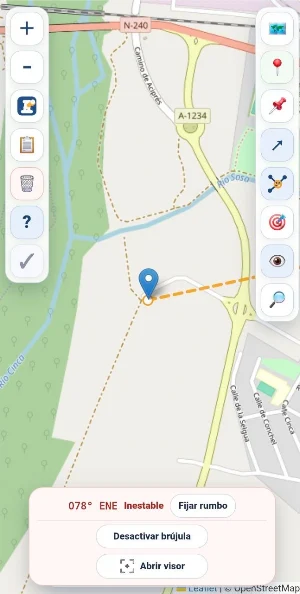
- Create bearings from the device's GPS position or from any point on the map.
- Use the mobile device's compass to orient and fix sights.
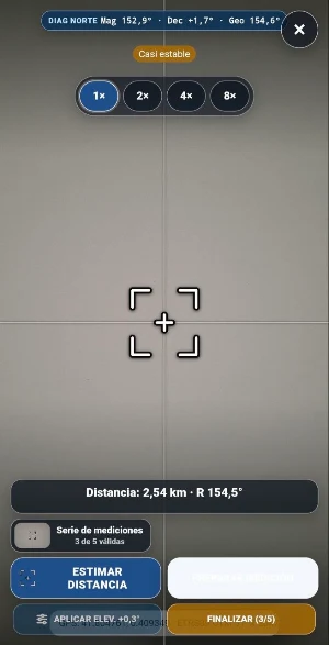
- Point directly at the camera image using a viewfinder to facilitate taking bearings in the field.
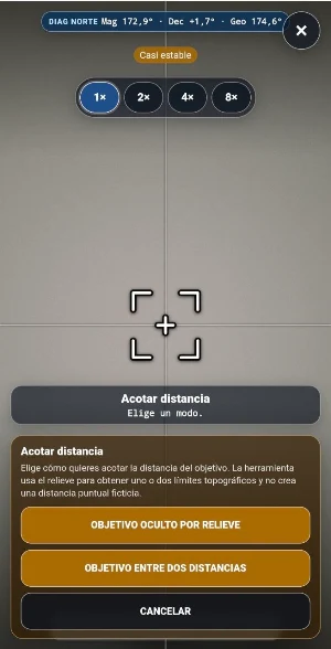
- Estimate the approximate distance to the target by combining the device's orientation with the map and terrain.
- Create sights from imported observation points or from your own points of interest.
- Combine and intersect bearings to estimate the position of an alert and generate a point of interest.
- Manually enter bearings, distances, and coordinates.
- View and manage observation points using custom catalogs. - Create points of interest with names, types, and notes.
- Search for locations and places and display them on the map.
- Consult different map databases, including OpenStreetMap and the National Geographic Institute.
- Voluntarily share coordinates, Google Maps links, and KML files.
- Import and export geographic information for use in other compatible viewers.
Rumbo Vigía Pro is designed as a support tool to facilitate the observation, orientation, and communication of geographic information in the field.
PRIVACY AND LOCAL OPERATION
Rumbo Vigía Pro does not require creating an account or logging in.
Projects, points, visuals, catalogs, and settings are stored locally on the device. The application does not include advertising, commercial tracking, or automatic synchronization with Agrorec Track servers.
Access to the device's location and sensors is only used for functions activated by the user. Downloading maps and searching for places requires an internet connection.
USAGE NOTICE
The bearings, intersections, distances, and positions calculated by the application are for guidance only and may be affected by GPS accuracy, compass calibration, magnetic interference, device quality, and user-entered data.
This information should be verified with official sources, procedures, and resources when used in professional, operational, or emergency-related activities.
Rumbo Vigía Pro is an independent application published by Agrorec Track. It is not an official application and does not represent any public administration, emergency service, or mapping organization.
Similar Apps

Masar iQ
Masar iQ app for booking flights and delivering orders throughout Iraq easily and safely

Lol Taxi
An app for ordering taxis in Kalisz

GPS Locator: Live Tracker
Track location, update GPS, stay informed to your friends

Miofive AR Speedcam
100% FREE app! Radar alerts throughout Argentina. Free updates.

IJEM Driver Partner
Drive, earn, and manage rides with the IJEM Driver Partner app.

Gofastgo
Book rides, navigate routes, and manage trips with the Gofastgo app.
