里長地圖 - 辦公處點位、村里查詢
Quickly find the village location, locate the village chief's office and contact information.
About 里長地圖 - 辦公處點位、村里查詢
Find your neighborhood chief no longer!
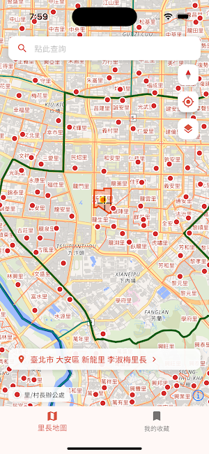
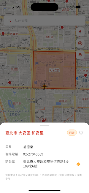
"Neighborhood Chief Map" is a tool designed specifically for finding information about villages, neighborhoods, and neighborhood chiefs. It provides quick access to office locations and contact information, making your work easier.
1. Location map of all neighborhood chief offices in Taiwan
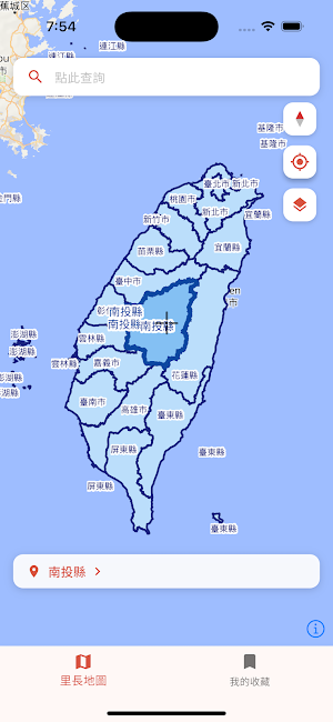
2. Boundary maps of all counties, cities, townships, and villages/neighborhoods in Taiwan
3. Favorites function
4. Village/neighborhood location
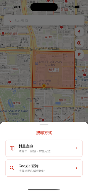
5. Google location search
6. Navigation function
Similar Apps

佛號功課計數器 - 經文閱讀器、完整紀錄與統計表、自定儀軌
The Buddha number and scriptures are combined with the counter. While counting, you can browse the scripture content, complete the number set by the daily homework, and use the statistics function to check the level of the number of Buddha numbers.

送貨助手 - 精準門牌、路線規劃器、導航系統
Delivery Assistant is a delivery tool designed for deliverymen, logistics drivers, and taxi drivers. It combines house numbers with Google location search to accurately locate the delivery point, so you no longer have to worry about going to the wrong place.
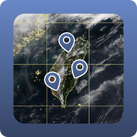
Taiwan Satellite Weather Map
Easily show the address and coordinates position on the weather map.

電力座標導航、台電電桿查詢
Provides engineering personnel with the ability to quickly search for power coordinates and poles, and supports two-way calculations of power coordinates and address queries.

高效背新多益單字-必備字彙、多種測驗模式
New TOEIC essential vocabulary, there are 13 kinds of TOEIC classification vocabulary, to help you get familiar with the 1400 commonly used vocabulary

地籍查詢 - AR街景看界線,使用分區查詢,專案物件地圖
This land administration tool is designed specifically for real estate agents and land developers. It integrates complete cadastral data and GIS functions, along with a project management system, enabling users to complete land-related tasks from land number lookup and map interpretation to drawing and sharing.
