About DroneMap Ro
Are you a drone pilot in Romania and want to fly legally and safely?
DroneMap RO helps you plan/verify, directly on an interactive map with live GPS.
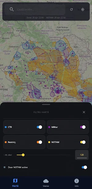
✈ RESTRICTED ZONE MAP
All ROMATSA published zones displayed in color on the map
CTR (airports), TMA, MApN military zones and other restrictions
Filter by zone type: airports, military, general restrictions
Active NOTAMs — temporary restrictions updated at each opening
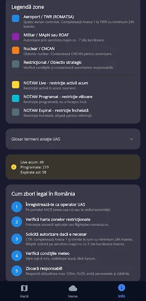
Clear badges: LIVE / SCHEDULED / EXPIRED
Altitude filter: see only NOTAMs relevant to your flight altitude (0–1000m)
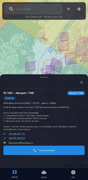
Tap on any zone for full details
Call the responsible authority directly from the app
Works offline with locally saved data
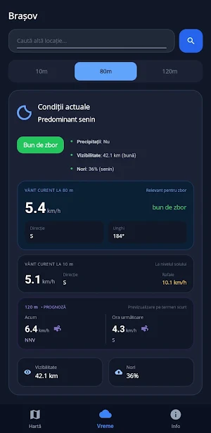
🌤 FLIGHT WEATHER CONDITIONS
Updated wind, visibility and cloud data
Hourly forecast for the next 12 hours
5-day forecast
Clear indicator: "Good to fly" / "Moderate conditions" / "Not recommended" / "To be avoided"
Search weather conditions for any location in Romania
📍 GPS LIVE
Automatically center on your location
Search for any city or town in Romania
Zoom precisely on the area where you want to fly
The application is free and does not contain ads.
If you find it useful, you can support it on ko-fi.com/dronemapro
⚠ IMPORTANT
DroneMap RO is an informative tool for planning drone flights in Romania.
Data is taken from public/official sources, including ROMATSA / flightplan.romatsa.ro and Open-Meteo.
Always check official sources, applicable legislation and real conditions before flying.
This application does not replace official airspace verification and does not eliminate the responsibility of the pilot/operator.
DroneMap RO is not affiliated, approved or administered by ROMATSA, AACR, MApN or any other public authority.
Similar Apps
Live Earth Map: Satellite View
Explore Earth in 3D, live maps, GPS camera & compass navigation.

BeFast Ecosistema
Delivery platform

3D Live Earth Map: GPS Tracker
View 3D earth map with live satellite and powerful GPS tracker

Drive Br Clientes
Request the nearest delivery person with Drive Br Customers!

PioApp
Operational management application

100% Eletric
Easy, fast and safe.


