About Blue Ventures: GEM
In order to comply with Google Earth Engine usage requirements, this app can only be used for non-profit purposes. You may be asked to contact us to verify your status.
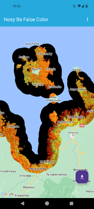
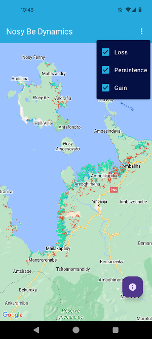
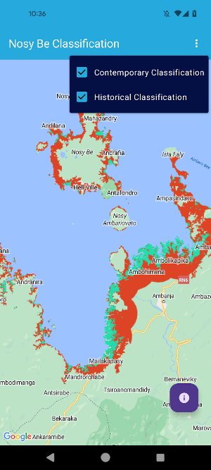
The GEM allows users to view maps that highlight the location of mangroves within a certain region of interest (ROI) at two periods in time, and then compare the change in those forests between the two time periods. Maps of mangrove imagery are classified and maps of gain, loss and persistence are displayed.
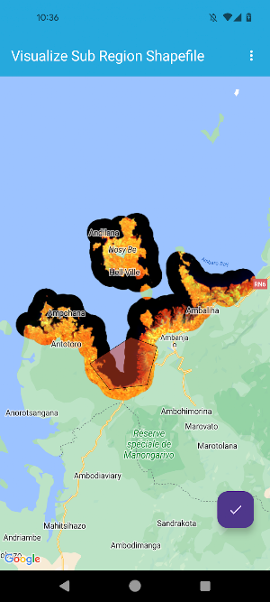
The classification of imagery requires users to provide a shapefile of classified polygons within an ROI that can be used to train the classification algorithm. The format of this file is described in the app.
The GEM app is a new version of an existing project:
https://github.com/Blue-Ventures-Conservation/GEEMMM
Thank you for using the app!
Similar Apps

XPE Game Speed
Enjoy learning at your convenience with easy access to your courses

DS Algo app
Visualize data structures & algorithms with real-time/stepwise visualizations.

Selma City Schools
Get the latest news, events and info from Selma City Schools all in one place.

Manasprint
Manasprint helps you prepare for UPSC exams with expert content.

Agenda LPNTalca
Evaluations, messages, and school reminders from the Pablo Neruda High School in Talca

IMT-TKD
Mater Institute of Taekwondo
