About Ariadna Maps
See exactly where you’ve walked, mark your favorite spots, and keep your paths tidy - perfect for city walks, hiking, or navigating busy festival grounds.
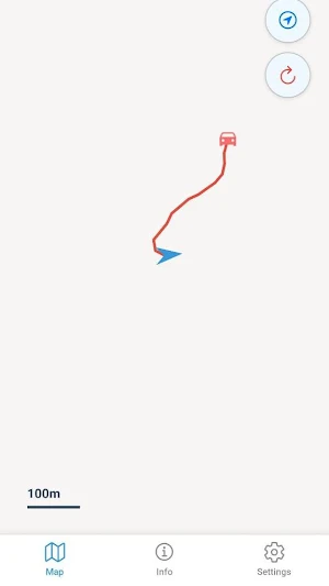
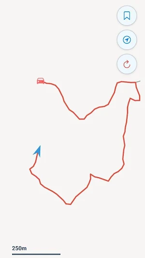
Route drawing in real time: Your path appears as a bright red line as you walk.
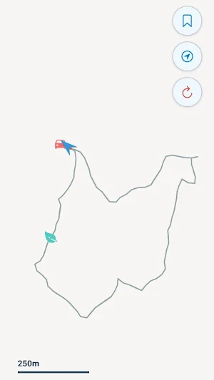
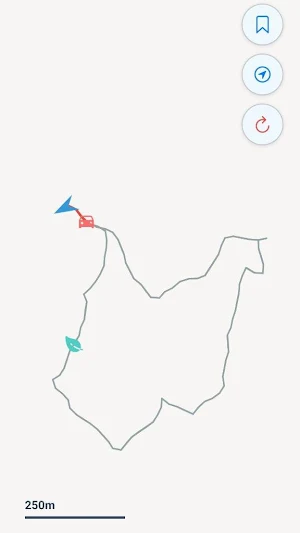
Loop cancellation: If you walk over a section again, it turns grey so you can see repeated paths at a glance.
Bookmarks: Save important locations, like festival stages, food stalls, or your tent, so you can always find your way back.
Compass-based orientation: Always know which way you’re facing while following your route.
Fully offline: No internet required, so you can explore anywhere - parks, streets, or festival sites - without worry.
Privacy first: everything runs on your device - nothing is stored or shared, we don’t track your steps, health data, or location history, the app only shows the route while you’re using it, and nothing leaves your device.
Perfect for keeping track of your festival walks, city explorations, or hiking routes.
Similar Apps
TrackTrip
Safe and reliable bus trip tracking for parents, drivers, and fleet managers.

Valley Metro Connect
Providing paratransit services for ADA residents throughout Maricopa County.

Sarathi
Navigation/Positioning tools with accelerometer and magnetometer.
Location Tracker Ultra
Apps to view friends' locations

NMove – Nieves Stations
Pay quickly and securely at the entire Nieves stations network

Callisto
CALLISTO aims to bridge the gap between Copernicus Data and Information Services

