About GeoRoma
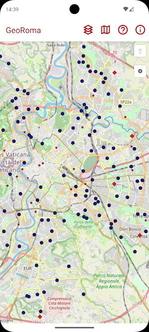
The GeoRoma application allows the viewing and consultation of the maps and cartographic layers, freely accessible, present on the GeoPortal of Rome Capital.
With this APP you can:
• Navigate the maps by swipe and zoom in/out via pinch-to-zoom
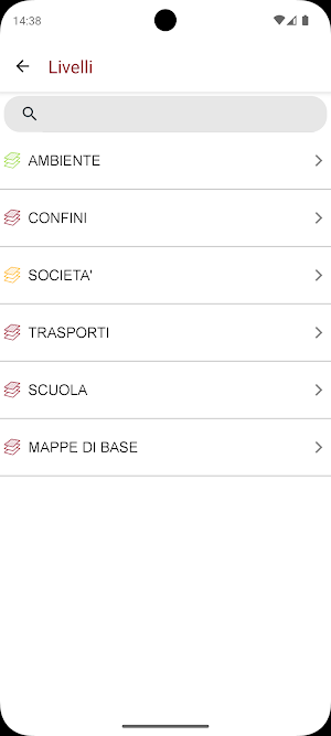
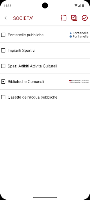
• Manage the displayed cartographic layers
• Center the map on the user's current position
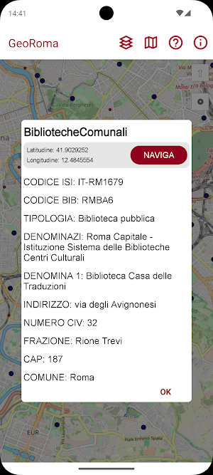
• View the details of a POI (point of interest) by clicking on it
• Access the FAQs
• View information relating to the APP versioning
After selecting the map and the cartographic layers of interest, the requested POIs (points of interest) are displayed, by clicking on the one of interest the information is displayed and it is possible, via the navigate button, to start navigation towards the selected POI through the navigator used by the system with the route already set towards the destination.
Similar Apps

LetsGo mapping
Mark and share landmarks on a collaborative public map.

Kapital Corporativo
Mass personnel pick-up service

지적도
Land Information Search - Complete Real Estate Investment Analysis with Publicly Appraised Land Price, Area, and Lot Search

TALENTUS PRO TRACKER
Application for Talentus Technology clients

AED Search: Lifesaver
Find nearby AEDs fast and learn how to use them. Be ready to save a life-anytime

Verano Saludable MINSA-DIGESA
Healthy Beaches and Pools in Peru. Plan your perfect day with AI!
