

FieldRove: GPS Area Measure
Dmytro Butenko Utilities iPhoneiPadiPod touch
FieldRove: GPS Area Measure is a free Utilities app for iPhone and iPad by Dmytro Butenko. Rated 5.0/5 from 2 ratings. Requires iOS 17.
- Rating
- 5.0
- 2 ratings
- Price
- Free
- on the App Store
- Size
- 37 MB
- Age 4+
- Updated
- Sep 22
- 2026 · v1.3.0
Screenshots


About FieldRove: GPS Area Measure
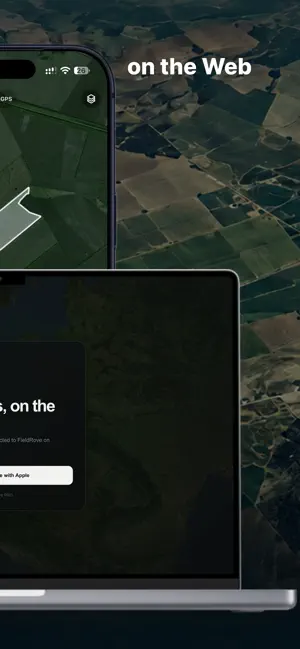
Measure land, map boundaries, monitor your fields, and collaborate with your Team — from the field to the web. FieldRove is a practical mapping tool for farmers, agronomists, landowners, contractors, and anyone who works with land. Measure an area with GPS while walking or driving around its boundary, or draw it manually on the satellite map. FieldRove calculates area and perimeter automatically and keeps your saved land organized for future work. MEASURE WITH GPS OR MANUALLY • Walk or drive around a boundary using GPS • Draw areas manually on the map • Add, move, and edit boundary points • Calculate area and perimeter automatically • Adjust GPS point spacing • Apply a boundary offset when needed • Use Metric or Imperial units HANDLE COMPLEX BOUNDARIES Fields are not always perfect polygons. Create exclusions for ponds, trees, buildings, obstacles, or other areas that should not be included in the final measurement. FieldRove automatically subtracts these areas from the total. KEEP YOUR LAND ORGANIZED Save your measurements instead of starting over every time. Assign crops, choose crop colors, rename fields, review field information, and keep all your boundaries accessible from the map and Fields list. ROUTE TO FIELD Create a route to the selected field directly on the map and sync it across your devices. SATELLITE MONITORING Monitor your fields with satellite imagery and vegetation data. FieldRove PRO provides Satellite, Field Productivity Map, NDVI, Contrast NDVI, NDMI, and NDRE layers to help you review field conditions directly on the map. WEATHER & FORECAST Check current weather conditions for your fields, including temperature, wind, humidity and precipitation. View the forecast for the next 24 hours and customize the weather information shown on the map. NOTES THAT STAY ON THE MAP Add notes directly to specific locations. Attach descriptions and photos to document crop conditions, obstacles, repairs, soil observations, access points, or anything else worth remembering. Notes can also be linked directly to a field. WORK OFFLINE Prepare Offline Maps before heading into areas with limited or no mobile coverage. Your saved fields and essential mapping tools remain available when an internet connection is unreliable. WORK AS A TEAM Create a shared Team workspace and invite others to work with the same fields and notes. Use Owner, Editor, and Viewer roles to control who can manage, edit, or view shared data. Whether you work with a colleague, agronomist, operator, or land manager, everyone can stay on the same map. FROM FIELD TO WEB FieldRove PRO connects your personal workspace with FieldRove Cloud and the Web App. Measure and collect information in the field on your iPhone, then continue working with your data on a larger screen. START WITHOUT AN ACCOUNT You can begin measuring and saving fields locally without creating an account. An account is only required for connected features such as cloud synchronization and Web App access. FIELDROVE PRO FieldRove Free includes the essential tools for measuring and organizing land. FieldRove PRO unlocks Satellite Monitoring, Weather & Forecast, Route to Field, Offline Maps, cloud sync and restore, Web App access, and Team tools. FieldRove PRO is available as a monthly or annual auto-renewable subscription. Available area capacity depends on the selected plan. Subscriptions renew automatically unless canceled before the end of the current billing period. You can manage or cancel your subscription in your Apple Account settings. From a quick acreage check to a complete collection of fields, boundaries, notes, and shared workspaces, FieldRove keeps the tools you need together without unnecessary complexity. Privacy Policy: https://fieldrove.com/privacy/ Terms of Use: https://fieldrove.com/terms/
What’s new
Version 1.3.0 · Updated September 22, 2026
• Improved Sign in with Apple • Improved PRO account and cloud data handling • Stability improvements and bug fixes
App privacy
The developer, Dmytro Butenko, reported these privacy practices to Apple.
Data Linked to You
The following data, which may be collected and linked to your identity, may be used for the following purposes:
- Purchases: Purchase History
- Location: Precise Location, Coarse Location
- Contact Info: Email Address, Name
- User Content: Photos or Videos, Other User Content
- Identifiers: User ID
Used for: App Functionality
Alternatives to FieldRove: GPS Area Measure
Looking for apps like FieldRove: GPS Area Measure? Here are 6 similar apps on the App Store. The highest rated is Acrely: GPS Field Area Measure (5.0/5), and all 6 are free to download.
-
 Acrely: GPS Field Area Measure
5.0
-
 Dictionary 2.0
-
 Di@gno-Prune
-
 AgriCalc
-
 FieldMeter: Land Area Measure
-
 PhytoCheck
| App | Rating | Price | Last updated | Compare |
|---|---|---|---|---|
| FieldRove: GPS Area Measure | 5.0 / 5 (2 ratings) | Free | September 22, 2026 | |
| Acrely: GPS Field Area Measure | 5.0 / 5 (2) | Free | Oct 22, 2026 | Compare |
| Dictionary 2.0 | – | Free | Mar 21, 2026 | Compare |
| Di@gno-Prune | – | Free | Sep 4, 2025 | Compare |
| AgriCalc | – | Free | Jul 3, 2026 | Compare |
| FieldMeter: Land Area Measure | – | Free | Oct 23, 2026 | Compare |
| PhytoCheck | – | Free | Oct 26, 2026 | Compare |