

PIC2BIM
Philip Stacey Productivity iPhoneiPadiPod touch
PIC2BIM is a free Productivity app for iPhone and iPad by Philip Stacey. Requires iOS 18.0. Updated June 25, 2025.
- Price
- Free
- on the App Store
- Size
- 8 MB
- Age 4+
- Updated
- Jun 25
- 2025 · v1.0
Screenshots


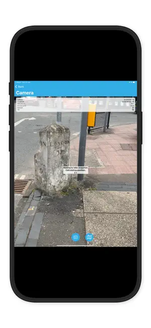

About PIC2BIM
PIC2BIM – Trusted Geotagged Photo Capture with EGNSS PIC2BIM is a powerful, open-source iOS app designed for professionals who need accurate, authenticated geotagged photos. Built on European GNSS innovations, the app ensures every image is location-verified and ready for use in construction, surveying, asset management, and more. -Originally developed under the EU Space Programme, PIC2BIM now brings advanced geolocation features to your iPhone: -OS-NMA authentication for trusted satellite-sourced location data -EGNOS-enhanced accuracy even in challenging environments -Dual-frequency GNSS support for robust, high-precision tracking -Capture, verify, and export secure photo data—directly from the field.
App privacy
The developer, Philip Stacey, reported these privacy practices to Apple.
Data Not Collected
The developer does not collect any data from this app.
Alternatives to PIC2BIM
Looking for apps like PIC2BIM? Here are 6 similar apps on the App Store. The highest rated is Fairy PDF Reader (5.0/5), and 4 of the 6 are free to download.
-
 Fairy PDF Reader
5.0
-
 Cesium Developer Conference
-
 Mapboard GIS
3.3
-
 KUKA MixedReality Assistant
-
 bypassgpt - ai humanizer
4.6
-
 Conduit: Open WebUI & AI
4.2
| App | Rating | Price | Last updated | Compare |
|---|---|---|---|---|
| PIC2BIM | – | Free | June 25, 2025 | |
| Fairy PDF Reader | 5.0 / 5 (3) | 4.99 USD | Apr 24, 2025 | Compare |
| Cesium Developer Conference | – | Free | May 13, 2026 | Compare |
| Mapboard GIS | 3.3 / 5 (3) | Free | Nov 3, 2024 | Compare |
| KUKA MixedReality Assistant | – | Free | Dec 16, 2025 | Compare |
| bypassgpt - ai humanizer | 4.6 / 5 (72) | Free | Oct 15, 2026 | Compare |
| Conduit: Open WebUI & AI | 4.2 / 5 (90) | 3.99 USD | Oct 17, 2026 | Compare |
Compare PIC2BIM with the top alternatives: ratings, updates, ASO score and keyword gaps →