About PointScout
ELIMINATE RETURN TRIPS
Preview your field-to-finish results right on the jobsite — points, lines,
and shapes rendered on satellite imagery while you're still standing on the
property. Catch missed shots, verify boundary closures, and confirm complete coverage before you pack up. No more driving back because you missed a shot or forgot a tie-in. One avoided return trip pays for itself.
PointScout Mobile is the field companion app for land survey professionals.
It connects directly to the PointScout desktop application, giving your field crew the tools they need to view survey data, render field-to-finish onsite, collect GPS points with photos, and sync everything back to the office — even without cell service.
FIELD-READY SURVEY MAPS
• View your survey projects on satellite imagery with full QGIS-matching symbology
• All 20 standard marker shapes, line styles, and shape fill patterns
• Line and shape labels rendered at midpoints and centroids
• Point clustering keeps large projects (1000+ points) smooth and responsive
• North arrow, scale bar, and layer visibility controls
COLLECT GPS POINTS
• Real-time GPS with accuracy display in feet
• Quick collect: long-press the map, type a description, save
• Full collection screen with code suggestions from your survey configuration
• Attach geotagged photos to any field point
• Auto-incrementing point IDs prevent duplicates
WORKS FULLY OFFLINE
• Download satellite and street map tiles before heading to the jobsite
• All survey data cached locally — points, lines, shapes, and symbology
• Collect GPS points with no internet connection
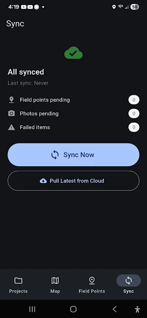
• Data syncs automatically when connectivity returns
• Render field-to-finish onsite to eliminate unnecessary gobacks
DESKTOP INTEGRATION
• Publish projects from PointScout desktop to the cloud
• Field crews see the same data with matching colors and styles
• Sync collected points and photos back to the office
• Desktop pulls field data directly into QGIS for finish processing
• Re-publish updates without creating duplicate projects
IMPORT & EXPORT
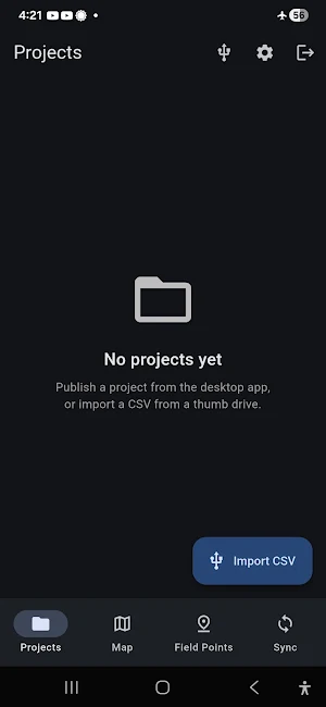
• Import PNEZD CSV files from data collectors via USB thumb drive
• Export field points as PNEZD CSV for data sharing
• Export full projects as GeoJSON (points, lines, shapes)
• Share exports via email, Google Drive, Bluetooth, or any Android share target
MEASURE DISTANCES & AREAS
• Tap-to-measure distance tool with running total in feet/miles
• Polygon area measurement in square feet/acres with perimeter
• Undo last point, clear, and done controls
BUILT FOR TABLETS
• Optimized layout for 10" survey tablets
• Navigation rail gives the map full screen height
• Point details in a sidebar panel instead of blocking the map
• Large touch targets for use with gloves
• High contrast for bright sunlight readability
PointScout Mobile requires a PointScout Cloud account.
Contact StrataLogic LLC for licensing information.
Similar Apps

Forged: AI Knife ID
AI knife identification. Specs, blade steel, lock geometry, where to buy.

Gavel: AI Collectibles ID
Identify any collectible from a photo. Maker, era, value range, where to buy.
Celluloid: AI Vintage Cam ID
AI vintage film camera identification. Make, model, era, value, retailers.
Veneer: AI MCM Furniture ID
AI identifies MCM furniture: designer, model, year, authenticity confidence.
SoundProof: AI Hi-Fi ID
Identify any vintage receiver from a photo. Specs, history, where to buy.

Tipple: AI Whisky ID
Identify any whisky bottle from a photo. Specs, tasting notes, where to buy.
