About OpenSAR TSA
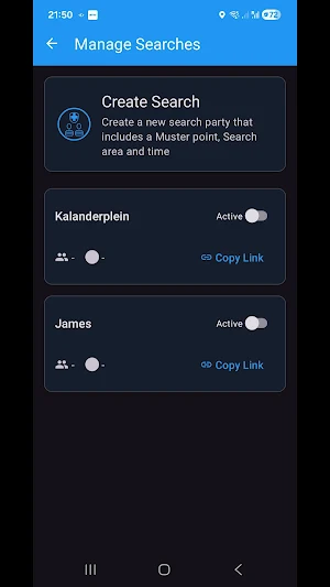
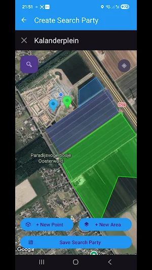
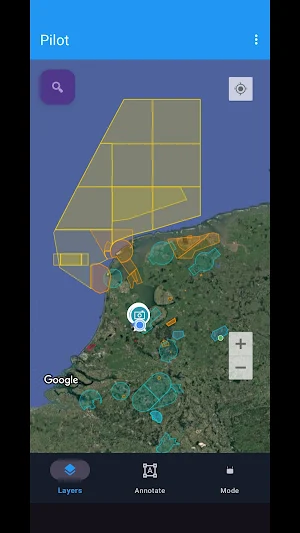
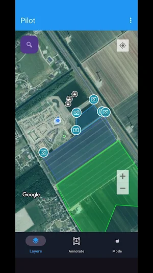
Manage individual and complex search operations that allows coordination between ground teams and drone pilots. fly search patterns that cover an area while retaining control of your camera. Immediately share images from the drone with your ground teams. All points of interest, areas and images are available to all participants. Organisers can orchestrate complex searches with team members all the way from a single pilot to multiple search teams in complex search environments. Automated separation between drones means safer missions. Detect other drones in the area and make it available directly to professional drone pilots using DJI enterprise drones. All detected drones, operators, ground teams and participating pilots, along with all search areas, rest areas, team member statuses and locations are available to participant. No need to install additional software on your DJI controller, everything is already integrated via the open platform login.
Similar Apps

QuickXpress Food & More
Fast, safe, and affordable rides 24/7. Book now!

Bahon
Find and book reliable riders near you for a quick and easy journey.
World 3D: Earth Map Satellite
Explore Earth in 3D with live cameras, street view, GPS tools & air quality

Pieniny – mapa turystyczna
Explore the Pieniny Mountains with a mobile map – always at hand!

LinkTracker Gps
LinkTracker GPS – Accurate and Secure GPS Tracking.

Zeppe seller
Manage orders, products, and store operations easily with Zeppe Seller.
