About GPS Mobile Navi
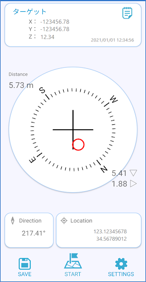
This application is a position guidance system that uses GNSS (GPS) inside the smartphone.
Converts from latitude / longitude to a plane rectangular coordinate system and displays the difference in m units.
Since guidance is performed according to the orientation of the smartphone, it is useful in surveying fields, construction fields, and navigation for heavy equipment guidance.
・ I want to know the value of XY coordinates
・ If it is latitude and longitude, the amount of difference cannot be known.
・ I want to perform a reverse survey
・ I want to find a reference point
This is useful in situations where you need to convert latitude / longitude-> XY coordinates in real time.
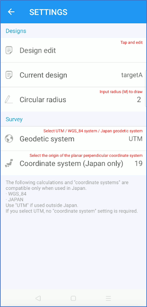
UTM is used as the calculation method for coordinate transformation.
* When used in Japan, it is compatible with the World Geodetic System (WGS84) / Japan Geodetic System.
Similar Apps

BaseMap: 3D Hunting Maps & GPS
3D Maps, Offline 3D, Location Sharing, Public & Private land, weather, wind, GPS

Glympse - Share GPS location
Temporary Location Sharing

Sea Trials - USCG License Exam
Upgrade USCG License

Wanderz - Travel Guides
Authentic holidays expert-delivered, AI-powered

Avenza Maps: Offline Mapping
Offline maps & GPS navigation for trails, topography & surveying
swisstopo
Official Swiss Maps
