Thunder Tracker
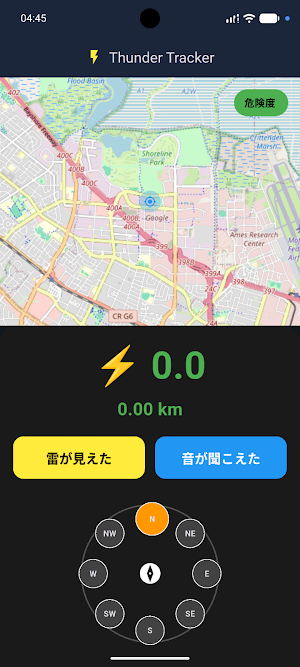
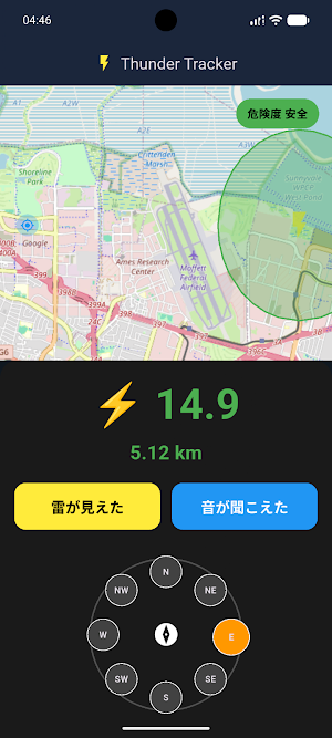
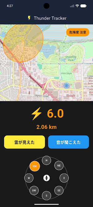
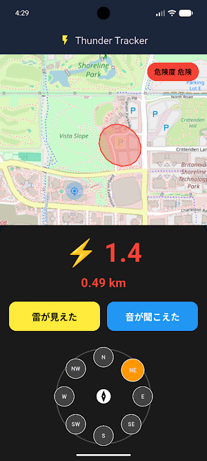
This app measures the distance to a lightning strike based on the time difference between the flash and sound, and visualizes the estimated location and level of danger on a map based on the selected direction.
About Thunder Tracker
This disaster prevention support app visualizes the estimated location and danger level of lightning strikes in real time by utilizing the time difference between the flash and sound of lightning.
Using it is extremely simple.
The user selects the direction of the lightning using the on-screen compass,
tap a button the moment they "see the lightning," and then tap again the moment they "hear the sound." The app automatically calculates the accurate distance based on the speed of sound.
The danger level is determined in three stages—"Dangerous," "Caution," and "Safe"—based on the distance from the current location. The map displays icons indicating the lightning strike location, along with the surrounding impact area and margin of error. It also features GPS location tracking, and its intuitive and easy-to-use UI makes it user-friendly for everyone.
This is a project by a 3rd-year student in 2026.
Creator:
Daichi Toriyama
Similar Apps

BaseMap: 3D Hunting Maps & GPS
3D Maps, Offline 3D, Location Sharing, Public & Private land, weather, wind, GPS

HomeLight For Agents
HomeLight helps the best agents to compete and win.
Compass Steel 3D
Clear, easy compass with a design that’s instantly readable.

Sleep Number
Proven quality sleep, only with your Sleep Number smart bed.

SPYPOINT
Manage your SPYPOINT cellular trail cameras and receive photos and videos.
