About Réso3D+
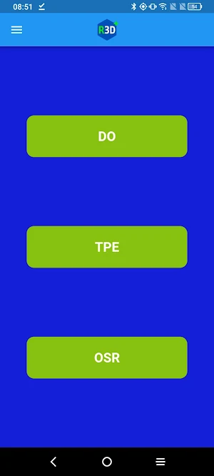
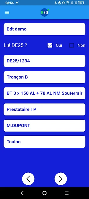
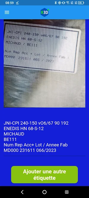
RESO3D+ is the application that allows you to geo-reference ENEDIS Class A networks and accessories.
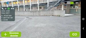
With Reso3D+, carry out your network measurements using direct georeferencing photogrammetry!
Coupled with Reso3D's GNSS, capture centimeter-precision images and obtain a georeferenced point cloud of the trench in just a few minutes.
** FEATURES**
- Capture georeferenced photos
- Automated photogrammetric sending and processing
- Export of point cloud and orthophoto
- Cartographic deliverable to the Enedis Carto200 standard
- Edition of a cubature report
Réso3D+ details
Réso3D+ is a free Productivity app for Android with 100+ installs on Google Play and a 5.0/5 average rating from 1 rating. It was released on August 20, 2026 and last updated on September 10, 2026. It's developed by Reso3D. It requires Android 8.0 or later.
- Category
- Productivity
- Rating
- 5.0 / 5 (1 rating)
- Installs
- 100+
- Price
- Free
- In-app purchases
- No
- Ads
- No ads
- Current version
- 1.6.1
- Requires Android
- 8.0
- Content rating
- Everyone
- Released
- August 20, 2026
- Last updated
- September 10, 2026
- Developer
- Reso3D
What’s new in Réso3D+
- Améliorations des performances de l'application - Ajout d'un module pour avertir des mises à jours
Version 1.6.1 · Updated September 10, 2026
Similar Apps
AlpineQuest Explorer Lite
Turn your phone into a real off-road GPS using off-line topo maps!

17TRACK Package Tracker
One App, All Deliveries: Track packages from Amazon, AliExpress, eBay & more

FIXD OBD2 Scanner
Your car is talking. Start listening.

Mergin Maps: QGIS in pocket
Mergin Maps is a QGIS field survey app for data collection even offline
TomTom - Maps & Traffic
Formerly AmiGO - Now TomTom
Carly — OBD2 car scanner
Save money on your car, detect errors, customize its features, and more
