About Orbis Insight
OrbisInsight is a comprehensive field operations tool designed to streamline the deployment, update, and removal of water network devices. Built specifically for Orbis' customer base and utility field teams, this app supports:
QR Code Scanning: Quickly identify devices using a built-in camera and QR scanner.
GPS Integration: Automatically capture latitude and longitude during deployments or updates for precise location tracking.
Dual Image Capture: Capture both a QR code image and a contextual installation photo for each device.
Secure Upload: Submit images and device metadata directly to the Orbis platform, including pipe orientation, material, and diameter.
Manual Entry Mode: Log field notes or details when a QR code isn't available or for legacy assets.
Asset Update & Removal Workflows: Easily view and edit records or submit removal tasks with detailed condition flags.
Offline Awareness: Designed with mobile field conditions in mind, including camera and GPS error handling and retry mechanisms.
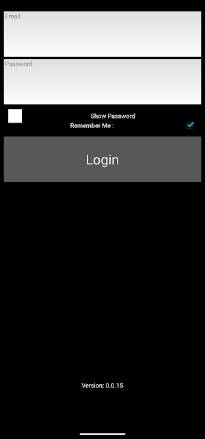
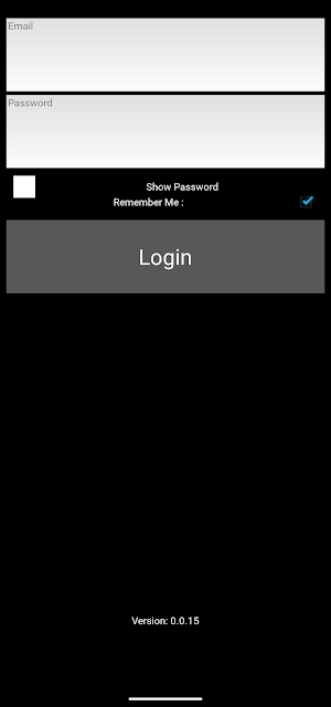
Login and Permissions: Secure operator authentication, customer-level access controls, and encrypted credential storage.
This app is tailored for Orbis customers seeking to digitize infrastructure management and field workflows in real time—ensuring data quality, audit trails, and operational efficiency.
Key Features:
🔍 QR Code Scanning
Instantly scan asset QR codes using an integrated camera interface.
Prevents duplicate entries with real-time validation.
Associates assets with customers', location, and sublocation metadata.
📸 Dual Image Capture & Upload
Capture two types of images:
Primary: Focused on the QR label.
Secondary: Showing the installed device in context.
Automatically rotates, flips, and corrects image orientation.
Uploads include timestamp, location, and asset metadata to your organization’s central server.
📍 Real-Time GPS Integration
Automatically fetches and attaches precise latitude and longitude to each image upload.
On-demand GPS refresh available with a single tap.
📋 Contextual Record Management
Preconfigured dropdowns for customers, locations, and sublocations—auto-filtered based on user access.
Intelligent form logic ensures only valid, complete data is submitted.
✏️ Manual Data Entry
Easily log edge-case events with manual data entry support.
Attach notes, device IDs, and status tags alongside GPS data.
Sends automated email alerts to your operations team for review.
🔄 Update Existing Records
Edit pipe attributes like orientation, material, and diameter.
Track record update counts and timestamps through the integrated API.
🗃 View and Sort Historical Records
Access previously submitted records by customer.
Sort by newest or oldest, and open any record to edit or resubmit.
🧰 Removal Workflows
Designed for uninstalling devices: scan QR, confirm battery removal, and log removal reasons with multi-select checkboxes.
Specialized handling for cases like water ingress, missing caps, and pilot completions.
🔐 Secure Login & Credential Storage
Encrypted login using AES for local credential storage.
User roles and permissions are enforced through backend validation.
Who It's For:
Built specifically for field technicians, utility contractors, and municipal workers, this app ensures fast, accurate, and verifiable data capture in the field—minimizing errors and maximizing uptime.
Requirements:
Android 7.0 or higher
Camera, GPS, and storage permissions must be enabled
Internet connection for uploads and authentication
Similar Apps

GestionDiag
Real Estate Diagnosis Management Software

경영박사 ERP 스마트+ 2.0
Successful Business Management/Sales Inventory Experience a smart work environment anytime, anywhere for 20,000 won per month with ERP Management Doctorate from Korea's leading small and medium-sized enterprise.

Service Partner - AnyJunk
AnyJunk Service Partner App

FORCE
This app will is for field executives to track their visits on daily basis.
Kumaramputhur SCB Mscore
Kumaramputhur Service Co-Operative Bank Mobile Banking

Loyal Eyes
It records and analyzes field activity with the help of AI.
