MaritimeHub Maritime Warnings
NAVAREA, Coastal & Local warnings with maps, PDFs and ECDIS User Charts

About MaritimeHub Maritime Warnings
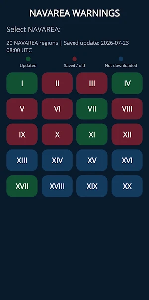
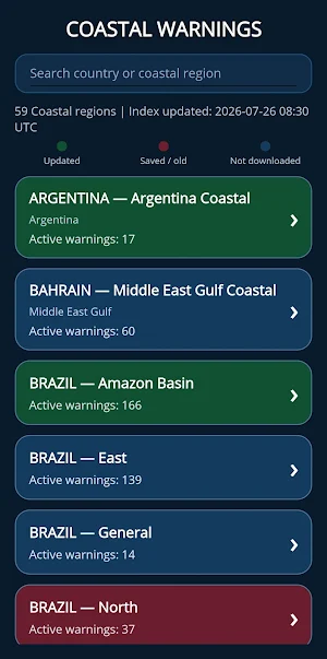
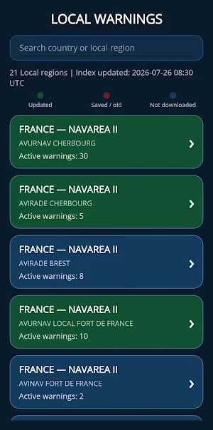
MaritimeHub Maritime Warnings provides seafarers with quick access to NAVAREA, Coastal, Local and NAVTEX navigational warnings in one clear and practical application.
Select the required area, review available warnings, search by warning number, and display warning positions and affected areas directly on an interactive map.
Main features:
• Access NAVAREA, Coastal, Local and NAVTEX navigational warnings
• Search warnings by number
• View warning positions and affected areas on an interactive map
• Generate clear PDF reports for printing, sharing and onboard record-keeping
• Create User Chart files in supported formats for Furuno, MARIS and Sperry Marine ECDIS systems
• Export warning information for voyage planning
• Access previously downloaded warnings offline
• Use a simple interface designed for convenient operation onboard
The application is designed for deck officers, navigators and other maritime professionals who need an efficient way to review, print and transfer navigational warning information.
Important: This application is intended only as an additional navigational aid. It does not replace official navigational warnings, Notices to Mariners, chart corrections, ECDIS procedures or information issued by competent authorities. Always verify all information against official sources before using it for navigation.
Similar Apps

Fuelwatch.ie
Compare Fuel prices and find an EV charger all over Ireland.

Namma BMTC 2.0
Live bus tracking, digital tickets & wallet for BMTC buses in Bengaluru.

Tailvision by ADS-B Exchange
Identify Any Aircraft Overhead

2GO SCCON Geospatial
View maps, alerts, and other geospatial data offline in the field.

MIMI Conductora: Pasajeras
The women-only transportation app. Travel safely.

Stop Info - Public Transport
Train and bus stops right next to you, their next departures at a glance
