About MI Territorio
My Territory is the ultimate tool designed to simplify and modernize territory management and visit tracking in your congregation. Forget worn-out paper maps and lost notes; have complete control of your ministry right in your pocket.
Whether you're a publisher organizing your weekly visits or the Territory Servant managing the entire congregation's inventory, My Territory adapts to your needs thanks to its smart role system.
🌟 KEY FEATURES:
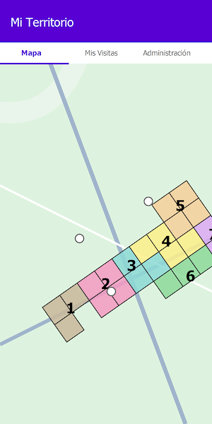
🗺️ Interactive and Precise Maps: Visualize your congregation's territories with perfectly drawn polygons on Google Maps. Know exactly where your assignment begins and ends.
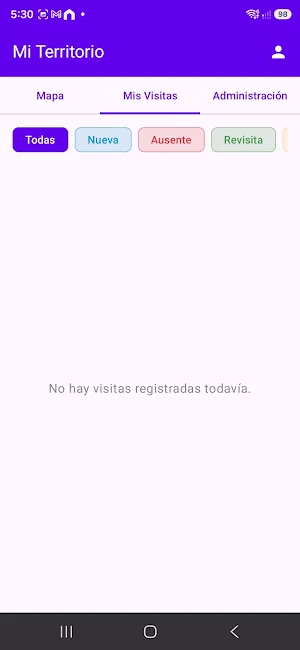
📍 Smart Visit Management: Add custom pins to the map with a single tap. Classify your visits by color according to their status:
Blue: New Visit
Red: Absent
Green: Return Visit
Yellow: Study
Purple: Not Visiting
📝 Detailed Records: Each pin saves a complete record where you can note the person's name, address, topic of conversation, posts left, videos shown, and additional notes.
🔐 Role System (Access Level):
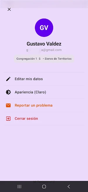
Publisher: Clear view of your territories and private management of your own visits.
Group Leader: See which blocks are assigned to better guide your group on ministry outings.
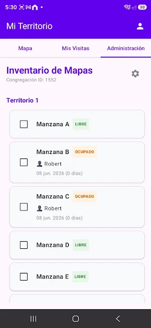
Territory Servant and Assistant: Access to the "Administration Panel" to assign territories, receive feedback, and view automatic alerts for expired maps (more than 4 months).
☁️ Cloud Sync:
Your data is secure. Thanks to cloud technology, if you change phones or log in on another device, all your visit and territory information will be there, intact.
🎨 Modern and Responsive Design: A clean, fluid, and user-friendly interface with native support for Dark Mode, protecting your eyes and your device's battery.
HOW DOES IT WORK?
Log in securely with your Google account.
Enter your congregation's unique code.
That's it! Download your map and start recording.
Designed with privacy and ease of use in mind, My Territory is the digital assistant your congregation has been waiting for.
Download it now and organize your ministry more efficiently!
Similar Apps
Billx GPS
Real-time GPS vehicle tracking, fleet management and live location monitoring
New Zealand Tides
Accurate tide times & forecasts for beaches and harbours across New Zealand.
PlotLot
Measure land, distance and area on maps. Fast, easy and View property lines
FleetHub Driver
Manage routes, scan packages, track stops, and capture proof of delivery.
DirtOS
DirtOS is built specifically for off-road by off-road people
FishSpot | Smart Fishing
Smart fishing log with AI Fish ID, maps, fishing conditions & catch cards
