LaserSoft Connect
Enables laser offsets in Esri's Field Maps app, using any GPS provider.
About LaserSoft Connect
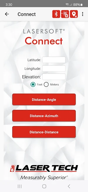
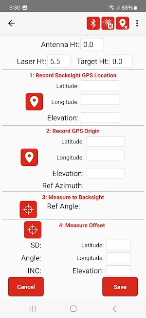
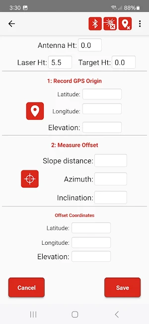
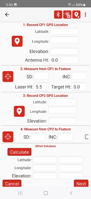
Are you an Esri Field Maps user? Bring any GPS equipment to your project and use LaserTech's Connect app to enable offsetting your features location using one of our patented TruPulse lasers. Utilize one of three efficient workflows to position the laser and make the measurements to your feature. You can even record accurate elevations and object heights with the TruPulse.
Similar Apps
LaserSoft Measure2
LaserTech's Measure2 app will connect to legacy TruPulse lasers and the new...

LaserSoft TapeDrop
Safely measure your antenna radiation center heights with your TruPulse laser and...
LaserSoft ServiceDrop
Quickly inspect or audit electric or telecom service drops to buildings with...
LaserSoft SpeedCapture2
**This app only operates with Laser Technology's TruSpeed Sxb speed enforcement unit.**A...
LaserSoft Pole Audit O-Calc
LaserTech’s Pole Audit for O-Calc® is a field data collection program that...
LaserSoft Joint Pole
LaserTech’s Joint Pole is a field data collection program that Electric Utility...
