I4D-RTK CLOUD SCAN
Application for terrestrial photogrammetry. Uses your cell phone camera and GNSS module.
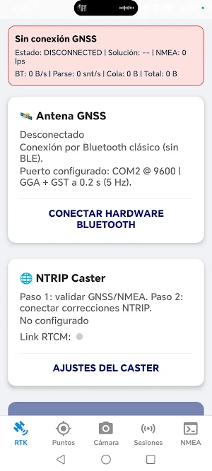
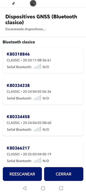
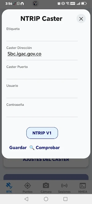
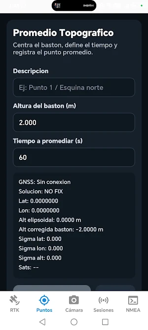
About I4D-RTK CLOUD SCAN
I4D-RTK CLOUD SCAN is a professional geospatial capture application designed for high-precision terrestrial photogrammetry.
It allows you to capture images and videos synchronized with triple-frequency GNSS RTK modules, generating georeferenced data ready for processing.
MAIN FUNCTIONS:
• RTK georeferencing image capture
• Integration with GNSS modules (NTRIP)
• High-precision coordinate recording
• Export of images and geospatial data
• Support for terrestrial photogrammetry workflows
• Ready for synchronization with video and QR codes
IDEAL FOR:
• Surveying
• Civil engineering
• Construction
• Cadastre
• Field surveys
• Technical inspection
ADVANTAGES:
• Centimeter-level accuracy with RTK
• Easy to use in the field
• Data ready for photogrammetry software
• No cloud storage required
• Full user control of data
The application uses the camera and an EXTERNAL GNSS module to capture and georeference data. All information remains on the user's device and is only exported under their control.
Support:
WhatsApp: https://wa.me/573155617630
I4D-RTK Cloud Scan is the ideal tool for professionals who need to capture reality with precision.
Similar Apps

YOYO Photo Cleaner
Clean photos, videos, storage and privacy locally on your device.
THQpets
THQpets---The Perfect Combination of Convenience and Hygiene
Sweep: Tracker & Cam Finder
Find trackers that move with you and cameras on your Wi-Fi. No fake tools.

Sara 777-Online Result App
Sara 777, the ultimate quiz challenge and mind-sharpening entertainment app
Sunne
The solar light that brings the sun indoors
CalcMaster
Smart calculators, finance tools, unit converters & daily utilities.
