FMS Lai Châu
Serving the forest management work of officials from the Lai Chau Provincial Forest Protection Department.
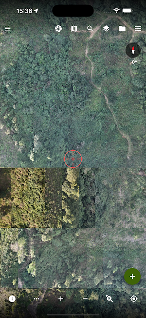
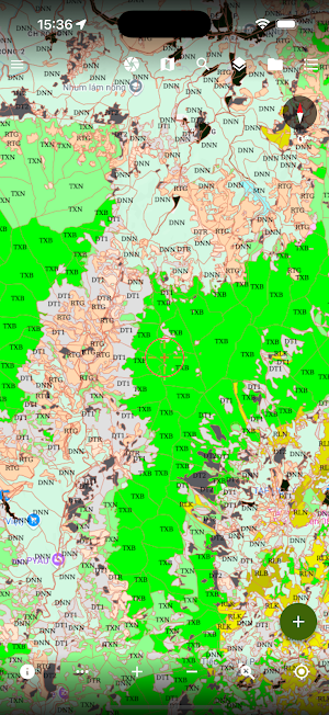
About FMS Lai Châu
The Lai Chau FMS application was developed to provide officials of the Lai Chau Provincial Forest Protection Department with a tool to search forest management maps. The application also provides Sentinel 2 satellite imagery and changes in Sentinel 2 satellite imagery, giving relevant officials input for verifying changes in the field. Additionally, users can use the application to delineate and photograph newly occurring changes in the field and send them to the central database.
Similar Apps

VN GeoPDF
GeoPDF offline maps, GPS VN-2000, surveying, tracklog & GIS data acquisition.

Geocollect - Xem&Thu thập GIS
Geographic survey tool, supporting multiple GIS formats: KML, Tab, SHP, TIF, MBTiles,..

FMS Quảng Ngãi
Serving the forest management work of officers of the Forest Protection Department of Quang Ngai province

INBAR INDIA Survey
Mobile application for surveying farm-based bamboo resources.

QLR Ninh Thuận
Serving the forest management work of officers of the Forest Protection Department of Ninh Thuan province

FMS Bình Thuận
Provide officials of Binh Thuan Province Forest Protection Department with forest management maps
