
Live Earth Map: Satellite View
Maps & Navigation In-app purchases Contains ads
Explore 3D satellite maps, street view, GPS navigation, and real-time traffic.
- Downloads
- 22.9K+
- on Google Play
- Price
- Free
- In-app purchases
- Updated
- Aug 20
- 2026 · v1.0.2
Screenshots
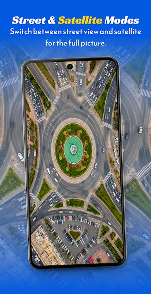
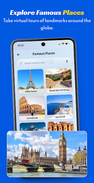
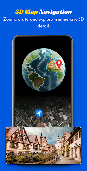


About Live Earth Map: Satellite View
Explore locations around the world with Live Earth Map: Satellite View. Access 3D map views, turn-by-turn GPS navigation, real-time traffic updates, and street views directly on your Android device. Whether planning a trip or discovering nearby places, this navigation app provides helpful tools for your daily commute and travel needs.
Main Features:
3D Satellite Map: View high-resolution satellite imagery and explore global landmarks.
GPS Route Finder: Get turn-by-turn driving, walking, and cycling directions to reach your destination smoothly.
Street View: Experience 360-degree interactive street views of popular places and tourist locations.
Live Traffic Updates: Receive real-time road conditions to help avoid congestion and delays.
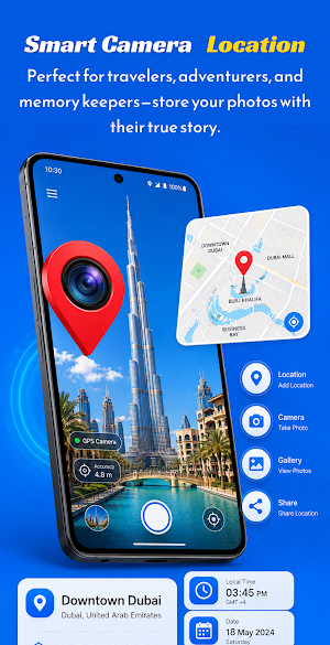
GPS Map Camera: Take photos with overlaid location, time, date, and current weather details.
Speedometer: Track your current travel speed and distance using accurate GPS speed tracking.
Nearby Places: Quickly find local services like fuel stations, restaurants, ATMs, and hospitals.
Weather Forecast: Check current weather updates and local atmospheric conditions.
World Clock: View live time zones for cities across the globe.
Country Info: Access essential details and facts about different countries.
Use Live Earth Map: Satellite View to navigate routes, view satellite maps, and discover new destinations.
Main Features:
3D Satellite Map: View high-resolution satellite imagery and explore global landmarks.
GPS Route Finder: Get turn-by-turn driving, walking, and cycling directions to reach your destination smoothly.
Street View: Experience 360-degree interactive street views of popular places and tourist locations.
Live Traffic Updates: Receive real-time road conditions to help avoid congestion and delays.
GPS Map Camera: Take photos with overlaid location, time, date, and current weather details.
Speedometer: Track your current travel speed and distance using accurate GPS speed tracking.
Nearby Places: Quickly find local services like fuel stations, restaurants, ATMs, and hospitals.
Weather Forecast: Check current weather updates and local atmospheric conditions.
World Clock: View live time zones for cities across the globe.
Country Info: Access essential details and facts about different countries.
Use Live Earth Map: Satellite View to navigate routes, view satellite maps, and discover new destinations.
What’s new
Version 1.0.2 · Updated August 20, 2026
Fix Bugs And Improved Performance
Alternatives to Live Earth Map: Satellite View
Looking for apps like Live Earth Map: Satellite View? Here are 3 similar Android apps on Google Play. The highest rated is Guru Maps Pro & GPS Tracker (4.5/5), and 2 of the 3 are free to download.



| App | Rating | Price | Installs | Last updated | Compare |
|---|---|---|---|---|---|
| Live Earth Map: Satellite View | – | Free | 10,000+ | Aug 20, 2026 | |
| BaseMap: 3D Hunting Maps & GPS | 4.0 / 5 | Free | 500,000+ | Oct 1, 2026 | Compare |
| RallyPin | – | Free | 10,000+ | Jan 13, 2026 | Compare |
| Guru Maps Pro & GPS Tracker | 4.5 / 5 | 89.99 USD | 50,000+ | Sep 30, 2026 | Compare |