VGW Vanguard Way PhotoGuide
Guidance by text, maps and photographs to the UK Vanguard Way footpath
About VGW Vanguard Way PhotoGuide
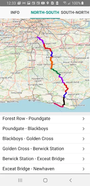
The Vanguard Way is a 66 mile (107km) footpath from south London to the south Coast - from East Croydon station to the Seaford cliffs & Newhaven station.
Not too long and not too short it takes a few days to walk it all.
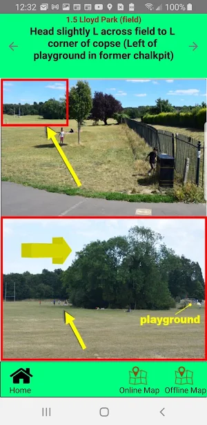
This guide combines the text & information from Colin Saunders with 3,000 photos (at points along the route & of things to see) taken mostly by John Jefkins who also created this app.
You can download the text, offline maps and photos in 10 sections (each of about 12mb) using your own wifi before you set-off to view the whole route.
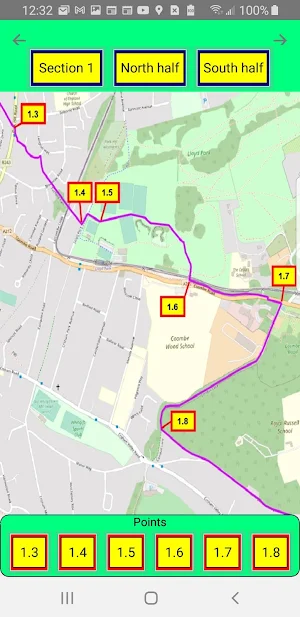
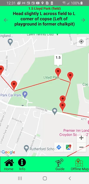
Whilst en-route, the app also allows you to view on-line maps that use location services to display the blue dot (to show where you are on your phone's maps) - should you get lost.
This pilot version currently shows sections 1-5 with more being added this summer. We will also be adding the means to measure how far you have walked or to measure distances between points you propose to walk.
More information about the Vanguard Way and it's history can be found on the Vanguard Way website http://www.vanguardway.org.uk/.
This guidance has all been produced by voluntary effort from members of the Vanguard Way rambling club and this app is offered to you on that basis.
Similar Apps

SPC Titan Hub
St. Petersburg College’s Titan Hub is your one-stop-shop connecting you with the...

Tampa Bay Lightning
The brand new Tampa Bay Lightning Mobile App is here!Download for free...

W18m: Test PR app 02
test...

Road to Hana Maui Audio Tours
Think of us as your personal Maui tour guide. With Shaka Guide,...

PPJG
We combine desktop and mobile application technology in partnership with the Pikes...

Jiu-Jitsu Journey
Learn Jiu-Jitsu with ease using our app that breaks down every move...

