About AxisTrack: Chainage & LandXML
AxisTrack is a practical field tracking and analysis tool designed for engineers working on road, railway, and infrastructure projects.
It brings your LandXML data into your smartphone for quick and easy access on-site.
________________________________________
⚠️ (CRITICAL)
⚠️ This app uses standard mobile GPS data.
It is not suitable for high-precision surveying and is intended for informational purposes only.
________________________________________
💡 Features
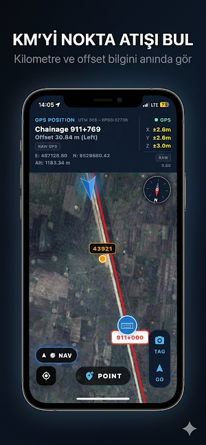
• 📍 Real-time chainage & offset display
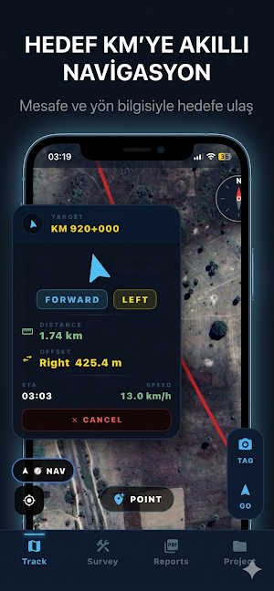
• 🧭 Guidance to target chainage points
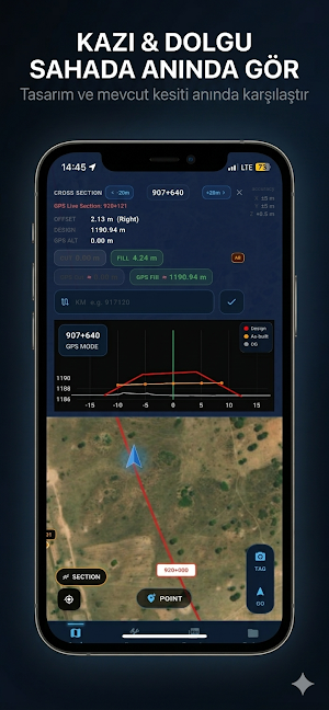
• 📊 Cross-section & profile comparison
• 📂 Import and analyze LandXML files
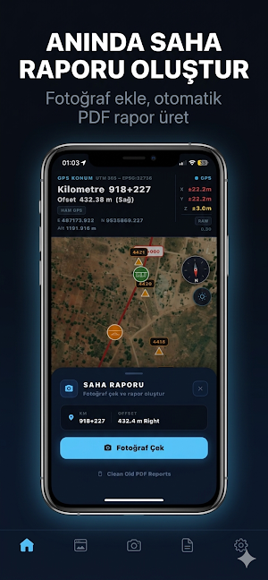
• 📸 Generate PDF field reports with photos
• 🛣 Manage multiple alignments on one screen
Improve field awareness, reduce errors, and make faster decisions on-site.
Similar Apps

GPXplorer
A .GPX and .KML file generator

Helps
Helps is an app for taxi drivers: more income and exclusive bonuses.
OpenRoaming Connect by Wefi
Free Automatic Wi-Fi Connection to Open Roaming Wifi anywhere

Where is the Eiffel Tower
Compass navigator to find the direction of a location

Delta Rastreadores
Vehicle tracking
Lasy Kujaw i Pomorza
Application guide to the forests of the Kuyavian and Pomeranian region

