Urban Rider Scooter Navigation
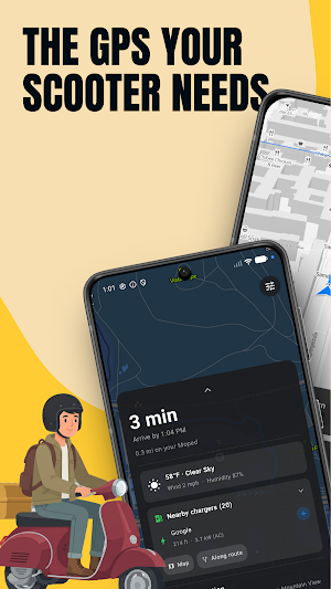
Scooter & moped navigation that skips highways for calm, faster city routes.
About Urban Rider Scooter Navigation
Tired of map apps that send your scooter straight onto the highway? Urban Rider is scooter and moped navigation built for two wheels - it routes you along calm city streets instead of fast, stressful roads.
Car GPS treats a scooter like a small car. Urban Rider is different. It reads every street on your route and keeps you on safer, slower roads that actually fit a 25-50 km/h scooter or moped. The result is a ride that feels calm, focused, and finally made for you.
Why riders love Urban Rider
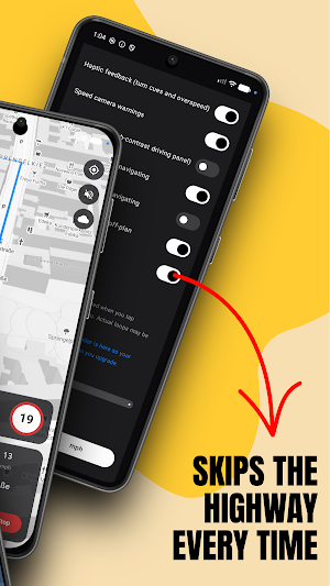
- No-highway routing: scooter and moped routes that skip fast roads and keep you on safe city streets.
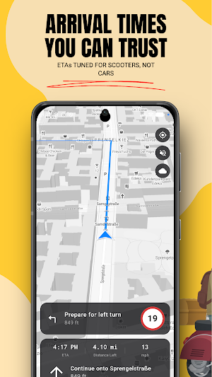
- Honest arrival times: ETAs tuned for scooters and mopeds, not car speeds, so you are never late.
- Reliable city GPS: steady navigation even between tall buildings where other apps lose the signal.
- Glance-friendly map: a clean, minimal display with big turn arrows, so your eyes stay on the road.
- Speed-zone warnings: a gentle heads-up before you enter a faster zone.
- Battery-saving mode: navigate farther on a single charge.
- Your route, your way: plan in Urban Rider, then open your route in Google Maps or export it as a GPX file.
Trusted by riders in 172 countries
More than 80,000 riders already use Urban Rider to cross the city the smarter way. Join them.
Go Premium
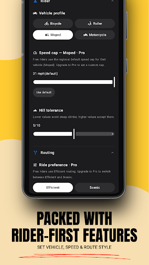
Unlock advanced routing options, richer map detail, and priority access to new features. Start a free trial and cancel anytime.
Made for scooters, mopeds, and every city two-wheeler
Whether you commute daily or explore on weekends, Urban Rider turns quiet back-streets and scenic roads into your default route - safe, smooth, and genuinely fun.
Privacy by design
Your navigation stays yours. Urban Rider minimizes the data it collects and keeps the focus on you and your route.
Download Urban Rider - the scooter and moped navigation app built for real city riding.
Similar Apps

VN GeoPDF
GeoPDF offline maps, GPS VN-2000, surveying, tracklog & GIS data acquisition.

Xendmi
Send packages quickly, securely, and conveniently with XENDMi.

Globaltrack – SphereGT
Designed for viewing your units, routes, alerts, and more.

Fleetz
Real-time GPS fleet tracking and vehicle management for your whole fleet.
KAG Positioning
GPS coordinates, altitude, compass, geofences & maps — all in one app.

Hitchmap, the hitchhiking app
Discover hitchhiking spots worldwide. See ratings, waiting times, and more.