About WindScape
WindScape lets you explore how wind reshapes sandy surfaces.
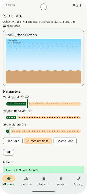
Adjust wind speed, vegetation cover, soil moisture, and grain size. The app computes critical threshold speed, sediment transport flux, and erosion rate using a simplified Bagnold-style model that runs entirely on your device.
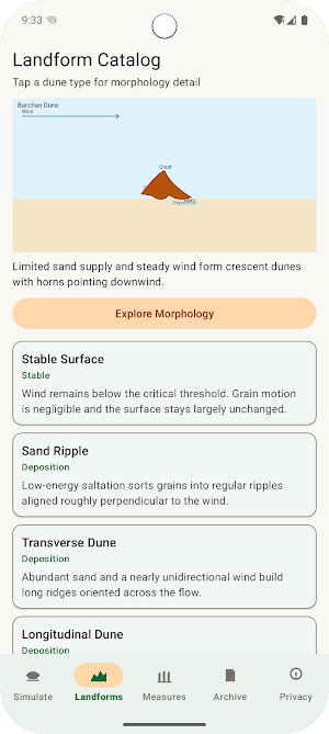
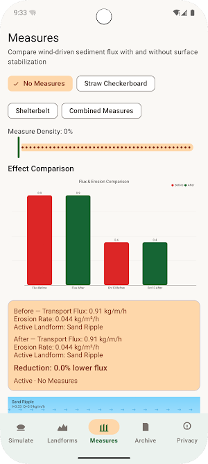
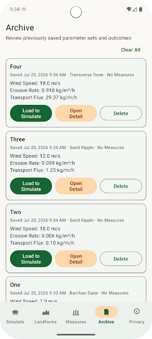
Watch Canvas previews update as parameters change: ripples, transverse and longitudinal dunes, barchans, deflation hollows, yardangs, and wind grooves. Compare straw checkerboard and shelterbelt measures to see how flux and erosion drop after stabilization. Save scenarios locally in Archive and open a full calculation breakdown anytime.
No accounts, no cloud sync, and no sharing or export of your data. Network access is used only for the privacy policy WebView when needed; simulation works offline.
Similar Apps

Snowcrest
Explore how climate shifts raise mountain snow lines and reshape ice margins.
FluviArc
Simulate river long profiles with uplift, rock strength, and basin area.

FenSphere
Explore wetland ecological roles with interactive diagrams and stress scenarios.
AridScope
Estimate land desertification risk from rainfall, cover, land use, and soil.

AquaStrat
Simulate lake thermal layers, oxygen and nutrient profiles by season.

Timer Pause Pad
Start, pause, and reset timers for daily routines.
