About FluviArc
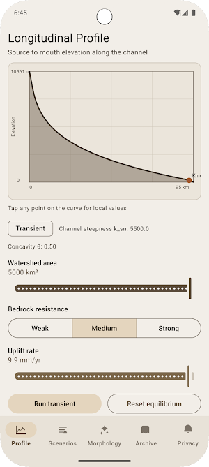
FluviArc models river longitudinal profiles from source to mouth using a stream-power erosion balance and channel steepness (k_sn).
Adjust three controls:
• Watershed area (km²)
• Bedrock resistance (weak / medium / strong)
• Tectonic uplift rate (mm/year)
The profile chart updates as you change parameters. Higher uplift steepens the channel and can grow knickpoints. Stronger rock tends to produce a more convex upper profile. Larger basins increase incision capacity and favor forms closer to equilibrium.
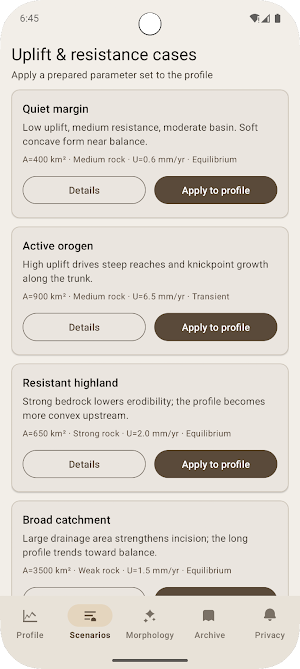
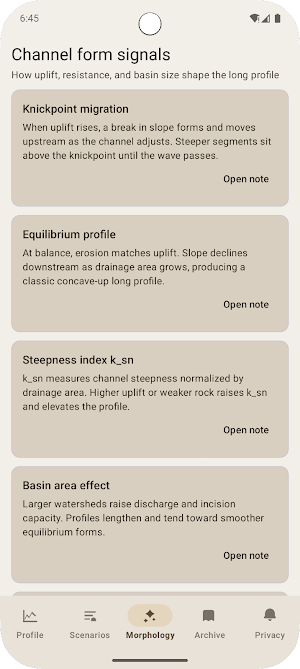
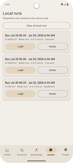
Tap any point on the curve to inspect local slope, drainage area, erosion rate, and local k_sn. Explore prepared scenarios, morphology notes, and an on-device archive of saved runs.
All simulation data stays on your device. FluviArc does not provide sharing or export features for your runs. Network access is used only to display the privacy policy.
