About AridScope
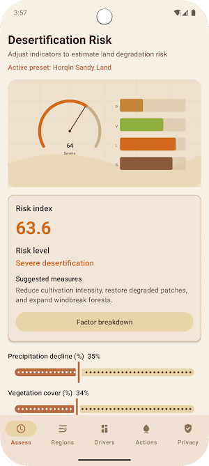
AridScope helps you estimate desertification risk for a plot or landscape using four indicators:
• Precipitation decline (%)
• Vegetation cover (%)
• Land-use intensity (low / medium / high)
• Soil texture (sand / loam / clay)
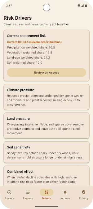
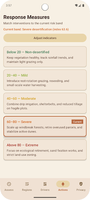
A weighted desertification index (DI) is calculated on device and mapped to five bands: non-desertified, mild, moderate, severe, and extreme. As you adjust indicators, the risk index, band, and response measures update immediately. A canvas risk map visualizes the index and factor scores.
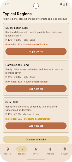
Typical regional presets for Mu Us Sandy Land, Horqin Sandy Land, and the Sahel Belt illustrate how climate stress and land pressure can combine. A scenario view compares your current settings with a restored land-use path.
All calculations run locally. Network access is used only to load the privacy policy. The app does not offer share or export features for assessment data.
