About SField
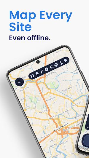
SField is a mobile GIS and field mapping app designed for practical outdoor work. It helps you view maps, manage spatial layers, read GPS coordinates, document field points, record tracks, and export professional map layouts directly from your phone.
Built for field teams, survey work, inspection, and mapping workflows, SField combines GIS utility with a clean mobile experience.
Key Features
Map and Field Navigation
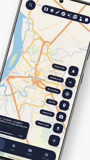
- View your map and active project layers in one place
- Read live GPS position, latitude/longitude, and UTM coordinates
- Use the built-in compass with heading, field data, and weather context
- Monitor direction, accuracy, elevation, and movement in the field
Import Geospatial Data
- Import GPX
- Import DXF
- Import SHP as ZIP package
- Import GeoJSON
- Import KML
- Import TIFF / GeoTIFF
- Import GeoPDF
- Open supported files directly with “Open with SField”
Project and Layer Management
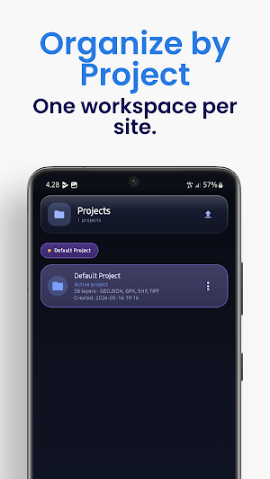
- Organize data into projects
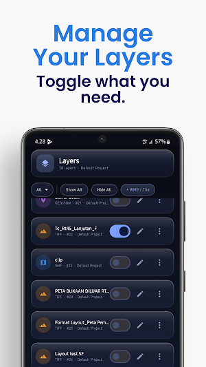
- Manage layer visibility and order
- Review imported data directly on the map
- Support for multiple spatial data workflows in one app
Field Documentation
- Create pins from GPS position or map position
- Add notes and attach photos to field points
- Keep project-based documentation organized for later review
Drawing and Measurement Tools
- Draw points, lines, and polygons
- Measure distance, length, and area
- Use field tools directly on the map while working outdoors
Track Recording
- Record field tracks
- Review track statistics
- Use track back guidance for return navigation
Professional PDF Export
- Export map layouts to PDF
- Use landscape composition and side-panel cartographic layout
- Include legend, scale, north arrow, grid, coordinate labels, and export details
- Preview export composition before generating the final PDF
Freemium Model
SField is free to use with core functionality available for field work and GIS data handling. Additional Pro features may be available through in-app upgrade.
Who SField is For
- GIS users
- field survey teams
- site inspectors
- mapping staff
- project monitoring teams
- outdoor operational teams
Important Notes
- Some features require GPS, camera, or file access permissions
- SHP files must be imported as ZIP packages
- DXF support depends on valid coordinate handling and supported geometry
- Certain advanced features may require Pro access
SField is built to help you carry practical GIS tools into the field without unnecessary complexity.
SField details
SField is a free Maps & Navigation app for Android with 100+ installs on Google Play. It was released on July 9, 2026 and last updated on September 18, 2026. It requires Android 7.0 or later. The app offers in-app purchases.
- Category
- Maps & Navigation
- Installs
- 100+
- Price
- Free
- In-app purchases
- Yes
- Ads
- No ads
- Current version
- 1.3.156
- Requires Android
- 7.0
- Content rating
- Everyone
- Released
- July 9, 2026
- Last updated
- September 18, 2026
What’s new in SField
New: a "Visit sfield.app" link on the About screen — jump to the SField web app right from the Android app.
Version 1.3.156 · Updated September 18, 2026
Alternatives to SField
Looking for apps like SField? Here is 1 similar Android app on Google Play.

RimbaLog
Wood measurement book input application with GPS, timestamp camera and map.
| App | Rating | Price | Installs | Last updated |
|---|---|---|---|---|
| SField | – | Free | 100+ | Sep 18, 2026 |
| RimbaLog | – | Free | 50+ | Jul 22, 2026 |
