About PointX
PointX — The Official CHCNAV Corrections Companion
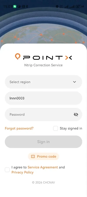
PointX is the official self-service app from CHC Navigation for PointNet GNSS correction service users. Whether you are a construction worker, surveyor, or machine operator, PointX keeps service status, account details, and connection guides at your fingertips — so your high-precision work stays on track.
Key Features
· Base Station Map — Browse all PointNet Europe reference stations with live online/offline status. Search by city name or coordinates (decimal or DMS) to jump straight to your work area, and overlay the coverage layer to confirm service availability before you head out.
· Ionosphere Monitor — Hourly ionospheric activity index (I95) covering the past 12 hours, now, and a 12-hour forecast, with automatic alerts for elevated activity — plan your precision work around the best windows.
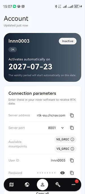
· NTRIP Account — See your subscription validity and remaining days at a glance, with proactive expiry reminders. Copy host, port, mountpoints, and credentials with one tap, and run a connectivity self-check anytime.
· Connection Guide — Step-by-step setup tutorials for LandStar, AGNAV, and third-party rovers, plus a pre-work checklist and FAQs to get you fixed fast.
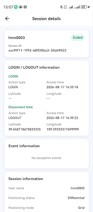
· Troubleshooting Logs — Every login/logout session is recorded with connection times, fix mode, mountpoint, client IP, and session duration. Export logs in one tap to speed up support conversations.
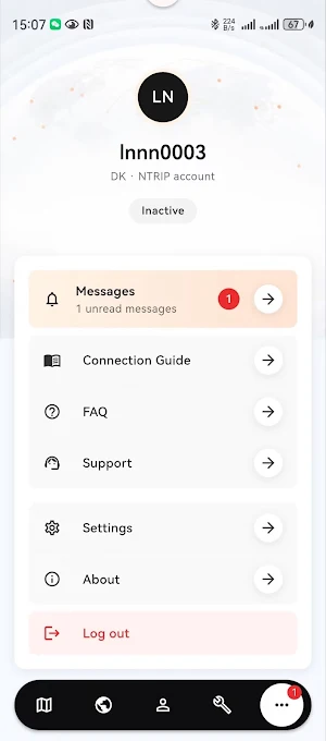
· Message Center — Scheduled maintenance, outage notices, service recovery, version updates, and subscription offers, delivered in-app the moment they happen.
About PointNet
PointNet is a ground‑based augmentation service provided by CHCNAV. Leveraging a global network of reference stations, it delivers centimeter‑level real‑time positioning for surveying, construction, and precision agriculture.
Subscription Required: PointX requires an active PointNet service subscription, available through your local authorized CHCNAV dealer.
Similar Apps
PointX
Base stations, ionosphere & NTRIP account — the official CHCNAV PointX app.
SmartGo Neo
Deep INS + SLAM Fusion for Reliable Mapping

FarmMaster
Precision farm management for field mapping, navigation, and waypoint tracking.
CHCNAV Downloader
Tool for user download resource
