
UTM Measure
Contains adsIn-app purchases
4.0star
222 reviews
10K+
Downloads

Everyone
info


About this app
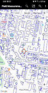
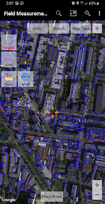
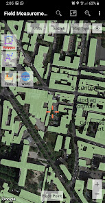
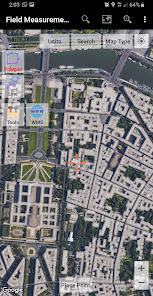
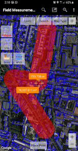
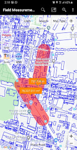
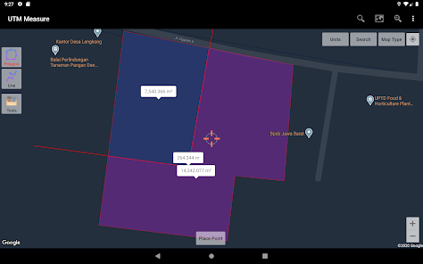
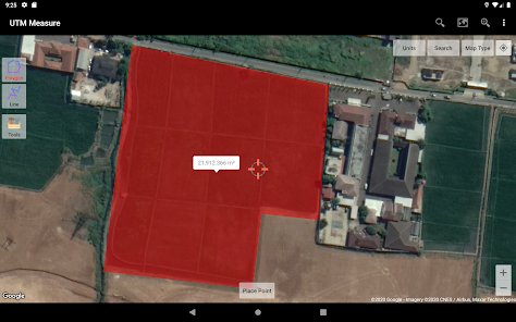
Measure area and distance, register points, lines and polygons from Satellite Imagery map data or GPS data, perform simple spatial analyzes such as overlays, buffering etc.
Equipped with sophisticated spatial drawing & editing tools such as snap nearest, cutting / dividing polygons with lines, smoothing, reducing vertices using Douglas Peucker's algorithm, editing vertices of lines / polygons, combining 2 lines / joints, turning lines into polygons, polygons into lines etc. .
Make a contour line (premium).
Store unlimited amount of data in your local database including feature name information, photos, labels / notes, etc.
Export your data to KML, DXF or CSV files.
Working with Coordinate Reference Systems around the world from Minna Datum (Nigeria) to TM-3 (Indonesia), plot your polygons on a map based on coordinate data from various local CRS using EPSG Code.
Supports WMS (Map Server).
Any suggestions are welcome, please send via email to y2inatech@gmail.com or write a review. thanks.
Updated on
Safety starts with understanding how developers collect and share your data. Data privacy and security practices may vary based on your use, region, and age. The developer provided this information and may update it over time.

This app may share these data types with third parties
App activity and Device or other IDs

No data collected
Learn more about how developers declare collection

Data is encrypted in transit

Data can’t be deleted
Ratings and reviews
4.0
216 reviews

Mebratu Menu
- Flag inappropriate
April 30, 2021
It's good app, but it can't work in tecno pop 3 phone. Why it can not work in this phone?
10 people found this review helpful
Y2 Tech
May 1, 2021
Sorry for your inconvenience. Did our app crash from the start? any error messages appearing?

saidi imed midou
- Flag inappropriate
July 18, 2020
It will not let you download the map nor even photo after your hard working to select it
23 people found this review helpful
Y2 Tech
August 25, 2020
Sorry for your inconvenience. You cannot download our basemap but can export the results of your work (points, lines & polygons) into KML, CSV or DXF format. Photos can be downloaded manually from the directory: Android/data/com.yogantara.measure/files/Pictures

Gcinokwakhe Shabane
- Flag inappropriate
April 21, 2021
I found it very useful for survey purposes
10 people found this review helpful
What's new
More improvements.


