
Trek2There
1K+
Downloads

Rated for 3+
info


About this app
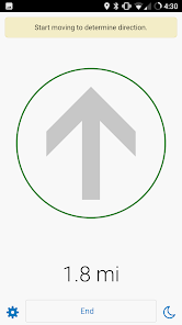
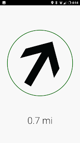
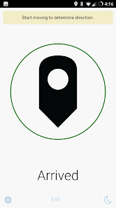
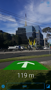
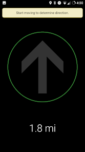
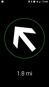
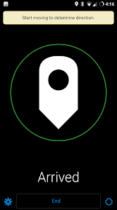
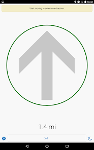
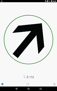
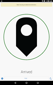
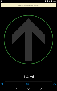
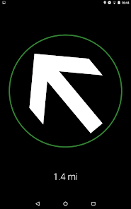
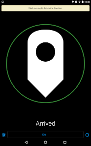
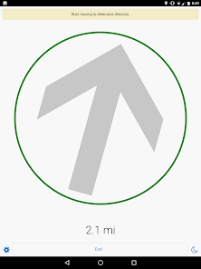
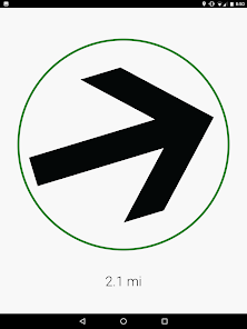
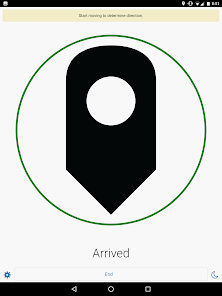
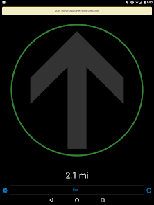
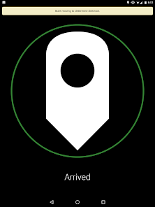
Your typical turn-by turn-direction mobile app helps you get to places, as long as there are streets... but what happens when you’re traveling in a remote location without streets, paths, or trails? Trek2There will help you in that last mile! Simply pass Trek2There the exact coordinates of the destination you want to get to, and it will tell you the direction you need to move, and for how long. It’s that easy! Think of Trek2There as a smart arrow that tells you exactly in what direction you should go.
If you are a developer, you will love that the source code for this app is available to you under the Apache 2.0 License. If you want to help add new features to the app, notify us of bug fixes etc... be our guest and visit the GitHub repo!
https://github.com/ArcGIS/Trek2There
Note: Do not attempt to use this directional information unless you are at a complete stop. Travel safely and use common sense when using Trek2There. Trek2There is not to be used for terrain avoidance as direction and distance information does not consider traveling around physical barriers such as cliffs, water bodies, roadways, moving vehicles, buildings, etc. Do not follow any travel suggestions that appear to be hazardous, unsafe, or illegal. Trek2There is provided on an “As-Is” basis. You assume all risk of using the Trek2There app.
Please refer to the license agreement for further details.
http://esriurl.com/labseula
Updated on
Data safety
Developers can show information here about how their app collects and uses your data. Learn more about data safety

No information available
What's new
- New satellite location status data, map, and debug pages.
- See current geographic coordinates, and switch coordinate formats ( latitude, longitude or USNG)
- On the location status map page see your current location (only if online)
- See incoming NMEA messages and choose to pause, record (to a NMEA log file) or clear messages.
- See current geographic coordinates, and switch coordinate formats ( latitude, longitude or USNG)
- On the location status map page see your current location (only if online)
- See incoming NMEA messages and choose to pause, record (to a NMEA log file) or clear messages.


